The Carrie Nation mine is in the southwest corner of the Old Baldy district, on the west side of the west fork of Madera canyon near its head, at an elevation of about 6,450 feet. It is on steeply sloping ground 40 feet above the adjacent bottom of the channel and 20 feet above a side gulch on the south. It is owned by Tres Estados Mining Co., which is represented by C. W. Curry, of Tucson. It is on a fault shear zone in reddish-gray medium-grained quartz monzonite. The croppings of the deposit, which are not prominent, are iron-stained quartz and silicified monzonite.
The zone trends west-northwest across the sheating structure of the rock and stands about vertical. It has good walls, each usually with about 2 inches of associated gouge. the vein filing consists pricipally of sheared monzonite and in places material resembling some dark dyke rock or possibly quartz schist. The ore minerals, which are pyrite, chalcopyrite, and malachite with a little bornite and galena, considerable associated specularite, limonite, some molybdenite, and a little zinc blend, impregnate the monzonite and occur also in lenses, streaks, and small bodies, which are banded with quartz. The ore seems to be of low grade. It value rests in copper, in which it is said to average nearly 3 per cent. About 12 tons of ore lies on the dump. The property is opened by a 240-foot cross-cut tunnel, 110 feet of drift, and a 30-foot shaft. The shaft contains several feet of water.
The Carrie Nation ledge and the property of the Tres Estados Co. here described are said to extend to the top of Jack Mountain on the east, where the Square Deal Propspect is located on them2.
Location
31.7131 N, 110.8749 W3
Not mentioned by Keith.5
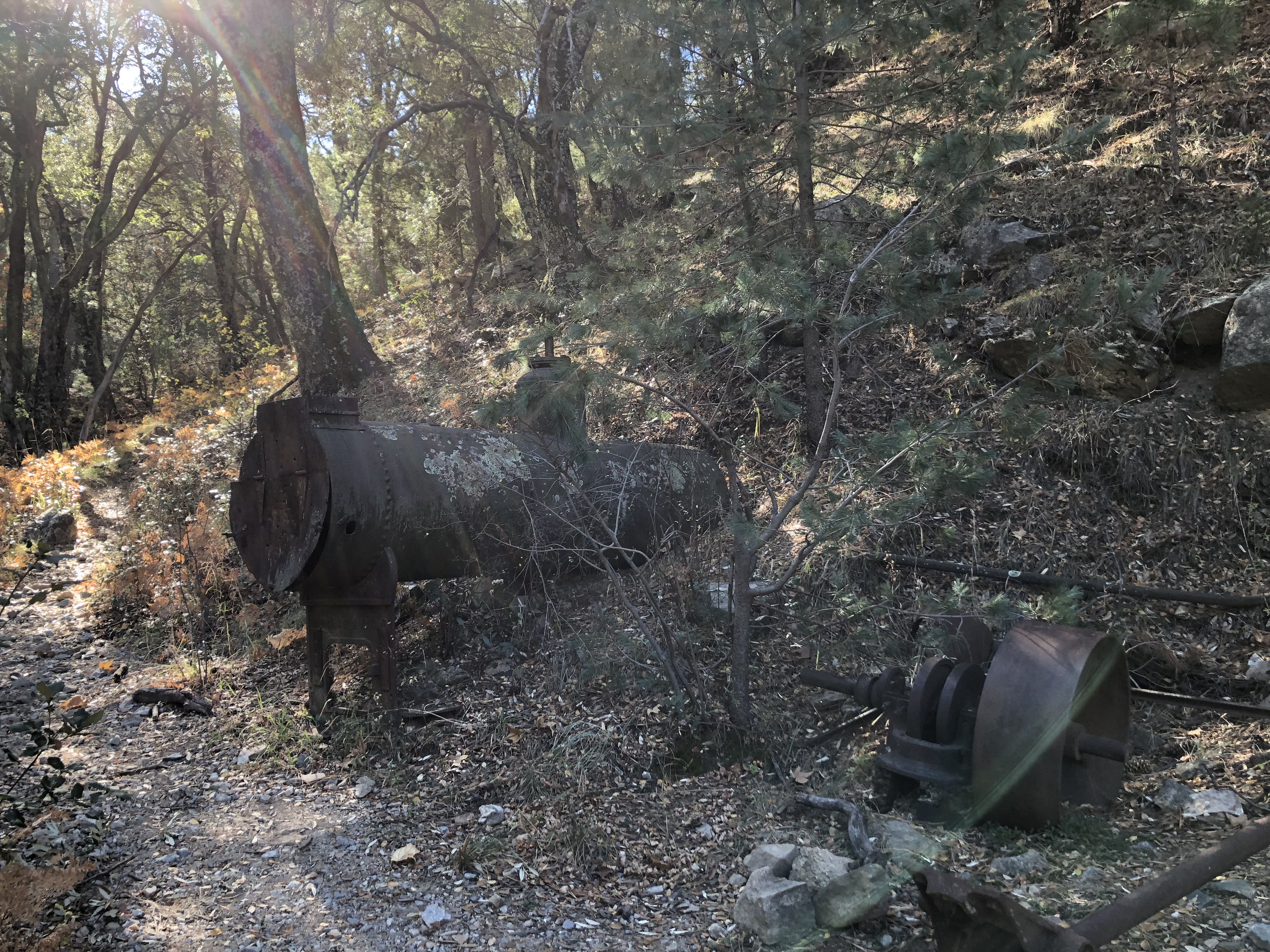
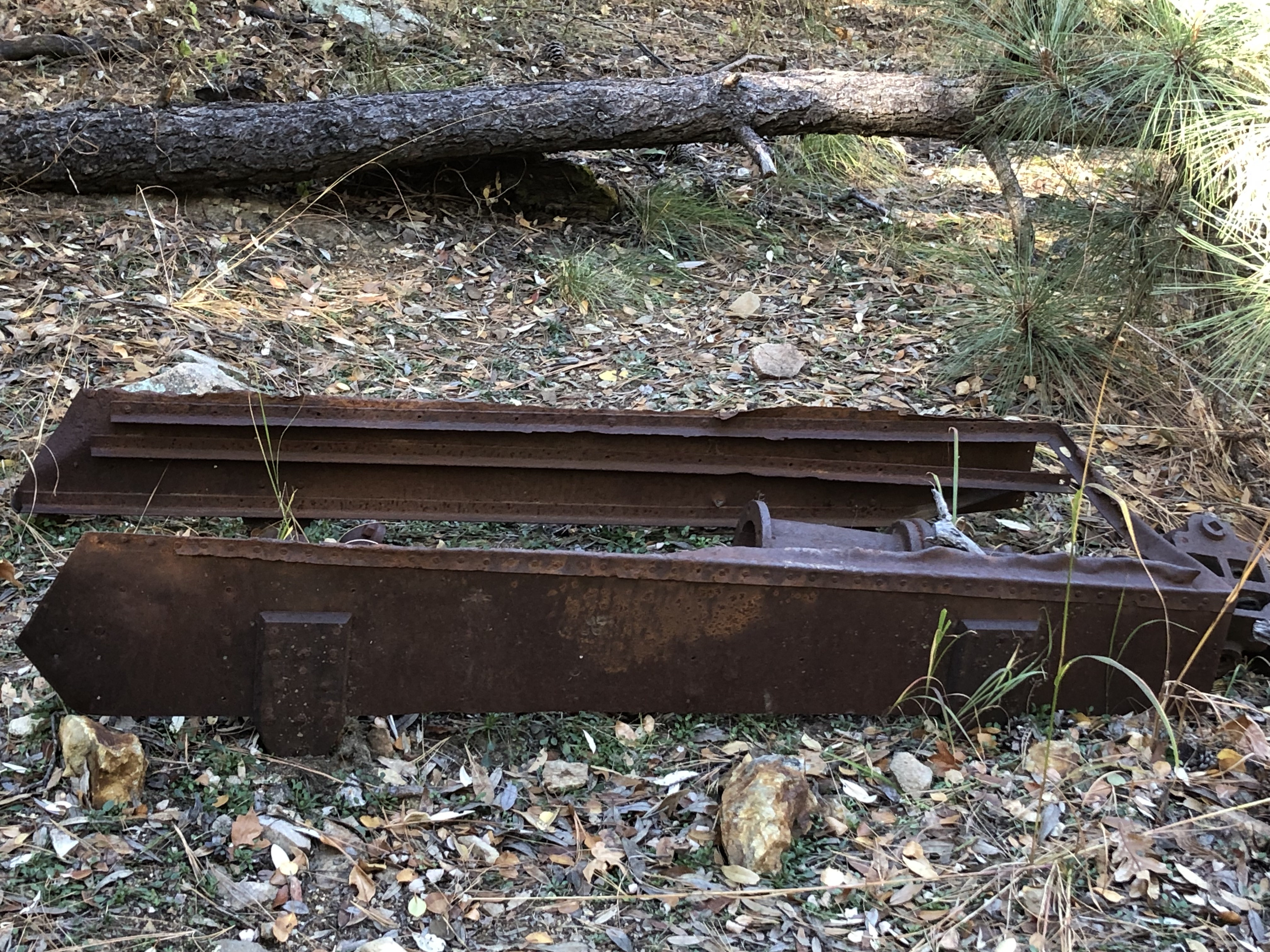
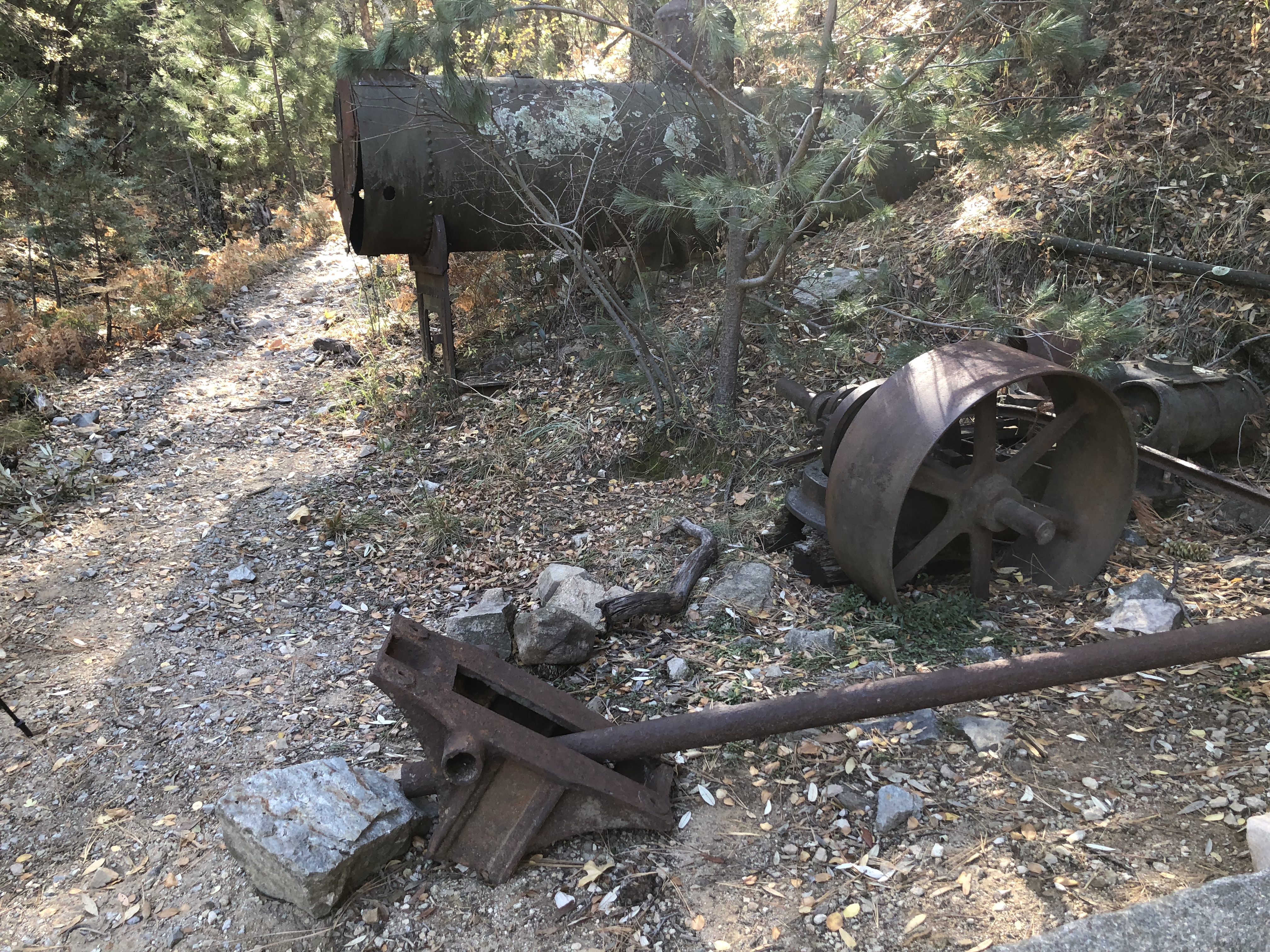
Photos by Mike Bertram, 11/22/23
References
- Mineral Appraisal of Coronado National Forest, Part 12, Santa Rita Mountains Unit, MLA11-94 (1994). SR 591-609
http://repository.azgs.az.gov/sites/default/files/dlio/files/nid1813/usbm_mla_011-94.pdf
- Mining in the Santa Rita and Patagonia Mountains of Arizona, U.S. Department of Interior, 1915. Republished 2014 by Kerby Jackson.
- Mike Bertram, 11/21/23
- USGS Mineral Resources Data System - possibly using NAD72 (https://mrdata.usgs.gov/mrds/map-commodity.html#home)
- Index of Mining Properties in Santa Cruz County by Staton B. Keith, bulletin 1991, Arizona Geological Survey, 1975
|
