|
|
|
Mines Menu:
Mines Map
Use the links at the left to return.
|
|
Mine Descriptions |
|
Dura Mine | |
Alternate NamesInternational, Old Contest CompanyNone known Mining District and MinesNogales District
Arizona Geological Survey Mining datahttp://docs.azgs.az.gov/OnlineAccessMineFiles/C-F/DuragroupSantacruz91b.pdf
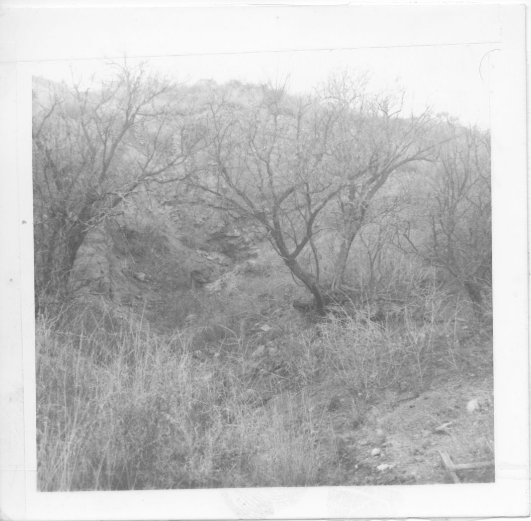
LocationOn Mount Benedict, north of Nogales 23S 14E NW¼ 285 31.4032N, 110.92596W4 Mineral ProductsAu, Pb, Ag, Cu-.5 Shaft, tunnel, adit, pit and open cut operations. Worked sporadically from prior to 1900 to 1941 producing some 100 tons of ore averaging about 5% Pb, 5 oz. Ag/T, 0.5 oz. Au/T, and up to 0.55 Cu.5 GeologyThe Dura, is 4½ miles north-northeast of Nogales, on a ridge on the east-southeast slope of Mount Benedict, at an elevation of about 4,000 feet. Some mining was done here on the XXX claim in the early days - in the forties, it is said - by Mexicans, who smelted the ore in a plant near the Buena Vista mine and left much good ore in the dump. The proeprty comprises three claims, the Dura, XXX, and Yankee Girl. It formerly belonged to Mr. Litchliter but is now owned by J. C. Gleason, of Courtland, Ariz. The known production in recent years is several thousand dollars. Seven tons of ore shipped to the Selby smelter averages, it is said, 35 ounces of gold to the ton; three cars shipped in 1903 averaged $600 in gold to the car, and 8 tons shipped by Mr. Litchlter about 1895 netted $50 to the ton. From a small streak in the hanging-wall side of the vein was taken a mortar full of ore, which, it is said, contained $1,600 of gold. But little work was done on the property in between 1905 and 1910. The mine is on a fault fissure vein which strikes west-northwest in the quartz monzonite and is seemingly the same vein as that of the Uncle Sam mine. At the surface the vein dips the south, but in depth, as shown in the tunnel below, it dips steeply to the north. The vein as shown in the tunnel is about 2 feet in maximum width; the filling consists of quartz and crushed, altered, and partly silicifed country rock, with which is associated a dark dioritic pyrite-bearing dike rock and a little black calcite or spar. The vein is locally brecciated and crudely banded with quartz stringers that contain some ore and together with the ore impregnate and replace the rock. The vein contains gold, silver, and lead but is worked for the gold. Ore on the dump at the shaft looks well, and the vein in the tunnel shows considerable indications of copper, the mineral seen being malachite, pyrite, chalcopyrite, galena, cerusite, and stibnite. A little wolframite is also reported. With these minerals are associated the gold and silver. the order of metals in value in the ore is said to be in free gold and rest chiefly in lead and silver. Some of the ore shipped is said to have carried 60 per cent in lead. The mine is developed by about 1,000 feet of work, including two shafts and a 270-foot tunnel which extends westward inot the east slope of the ridge and conatins a 40-foot winze and stopes2 Lensing vein in a shear zone in altered Jurassic quartz monzonite with brecciated and crudely-banded quartz, quartz stringers and altered wall rock. Irregular pockets and impregnations of galena, cerussite, pyrite, chalcopyrite, malachite, and minor stibnite and wulfenite. Associated pyritized lamprophyric dike.5 References
|

