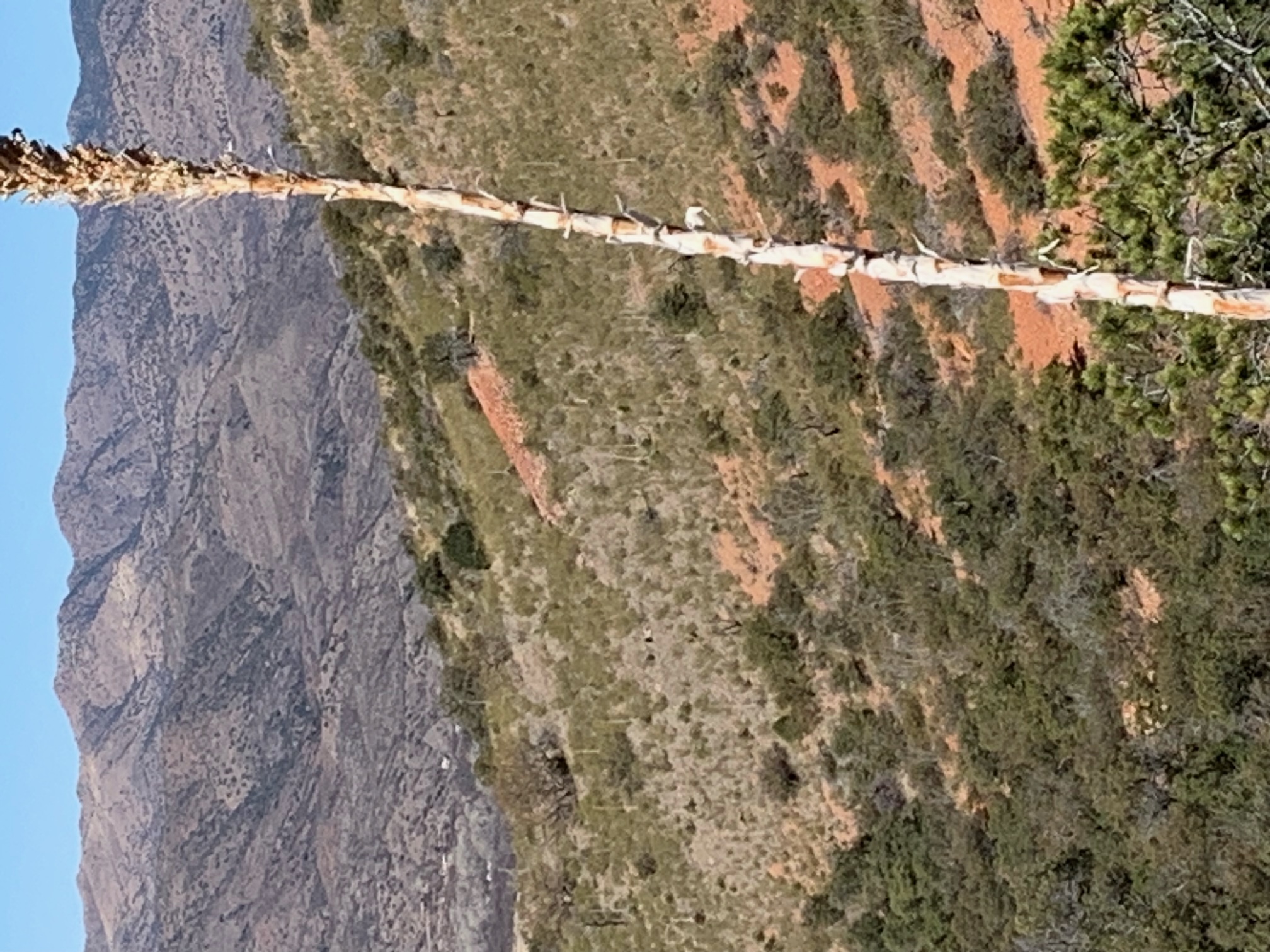
Location
31.5129N, 110.7245W8
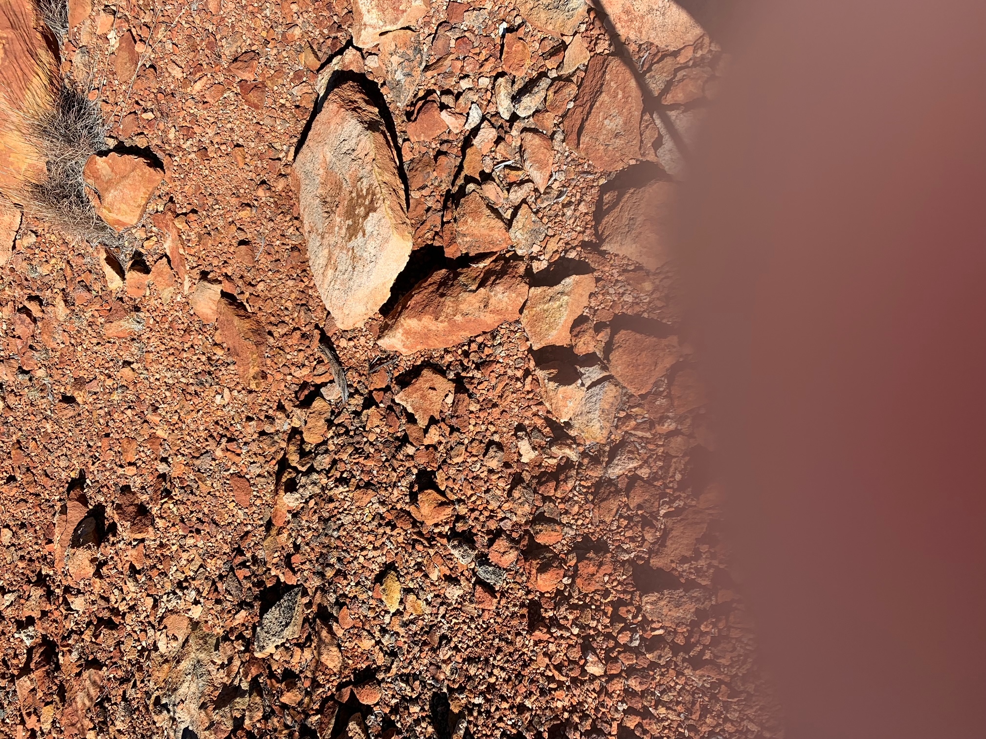
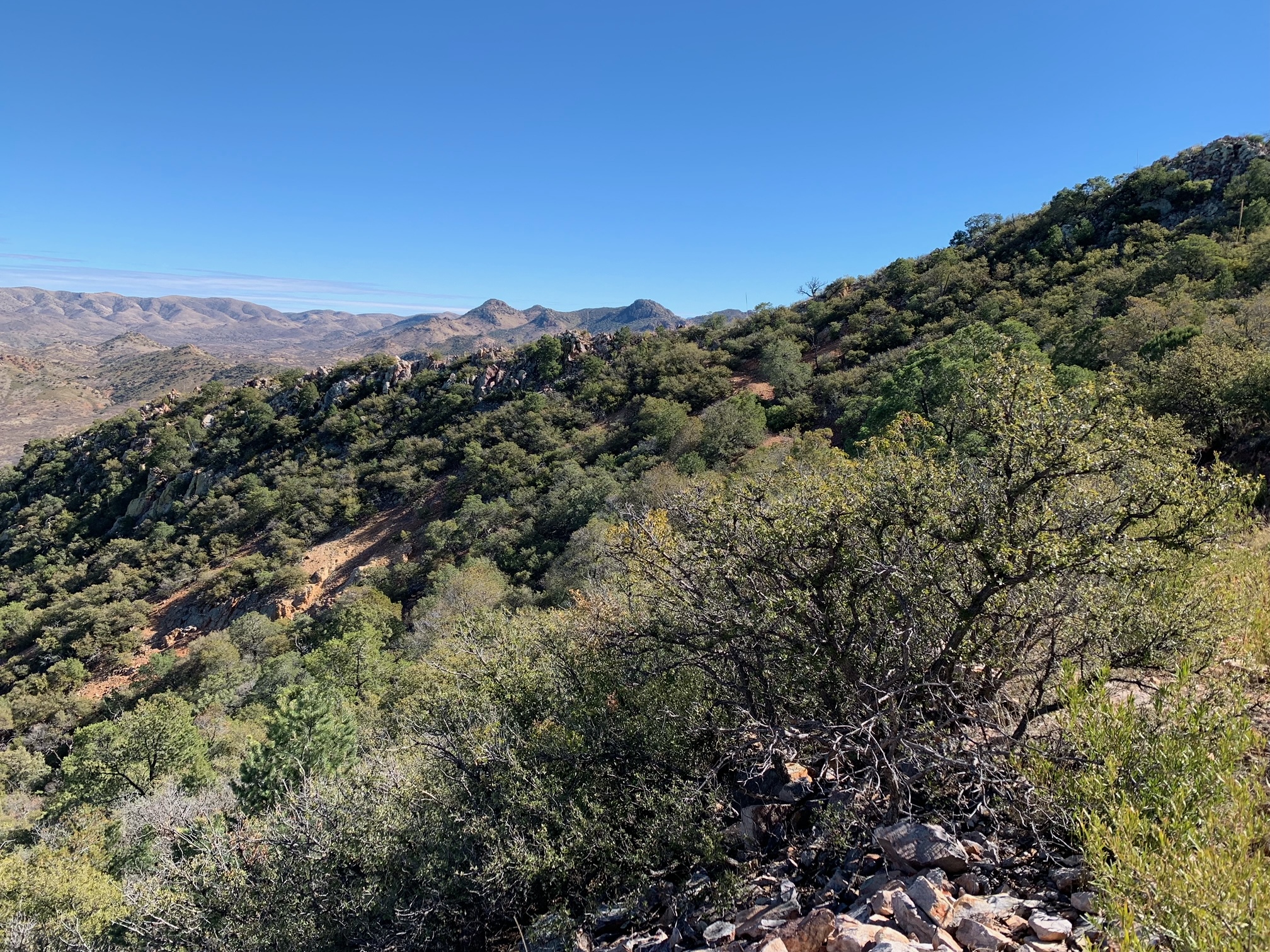
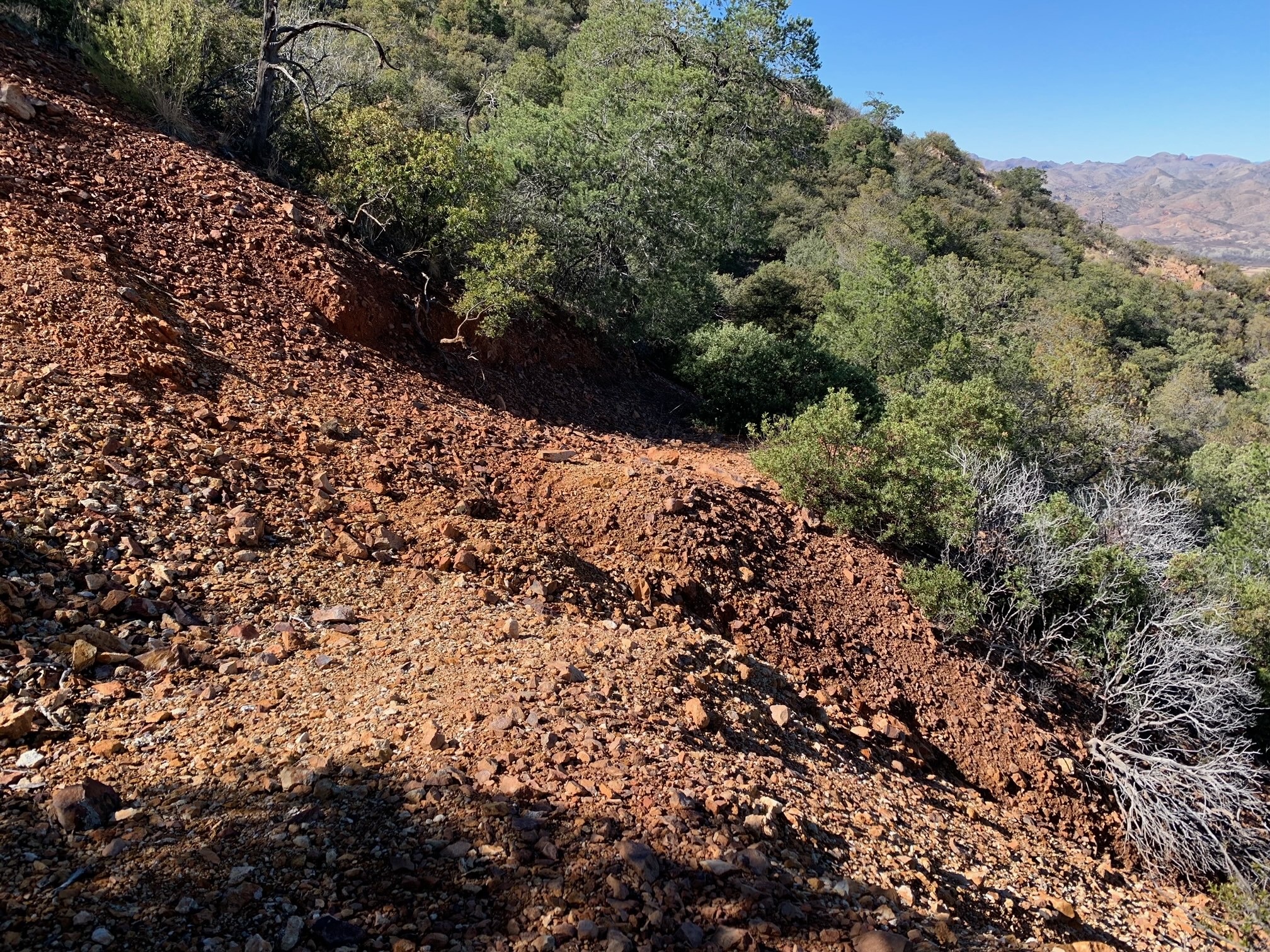
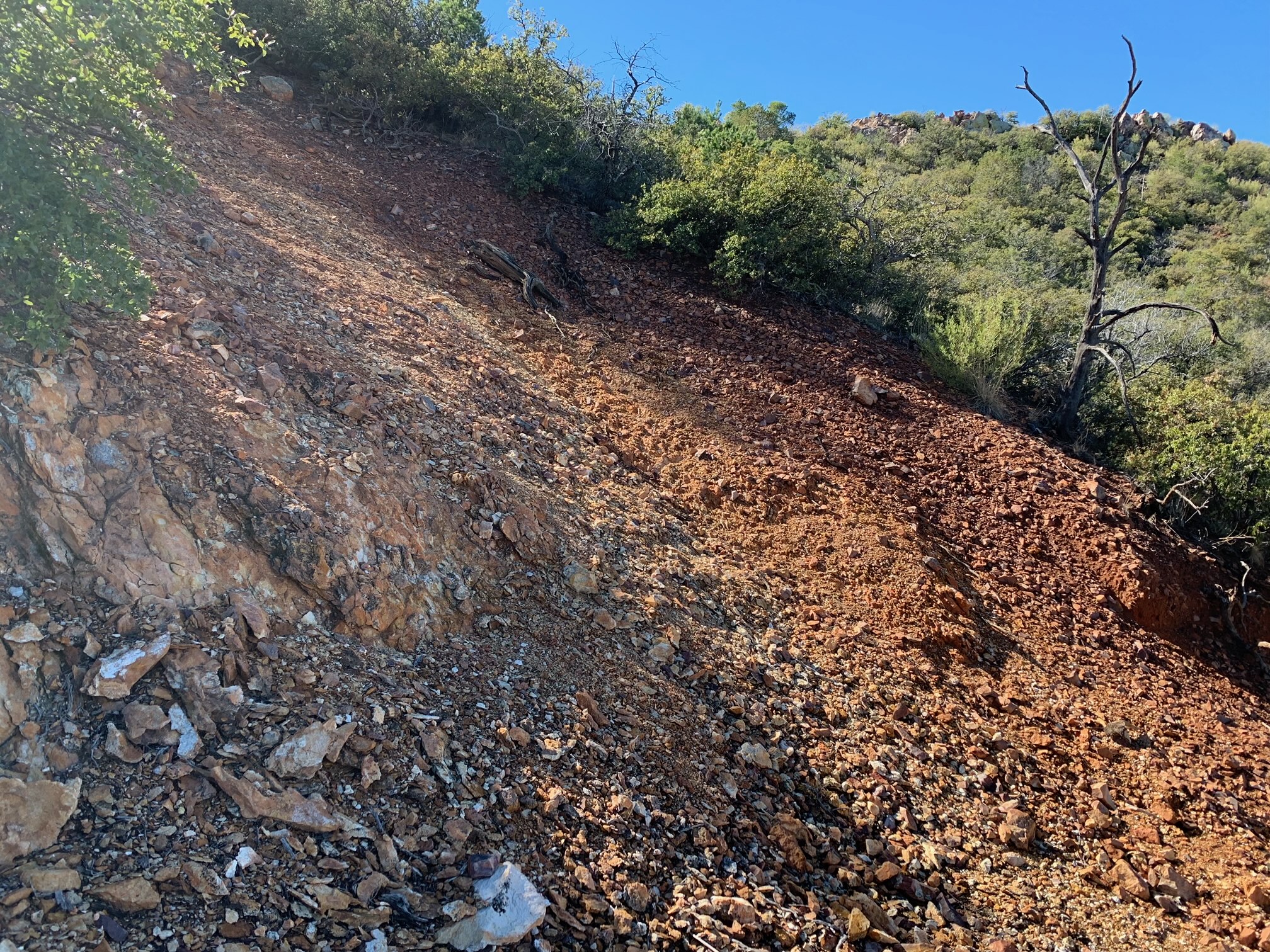
Photos by Kathy King, 2/4/24
References
- Mineral Appraisal of Coronado National Forest, Part 12, Santa Rita Mountains Unit, MLA11-94 (1994). SR 591-609
http://repository.azgs.az.gov/sites/default/files/dlio/files/nid1813/usbm_mla_011-94.pdf
- Mining in the Santa Rita and Patagonia Mountains of Arizona, U.S. Department of Interior, 1915. Republished 2014 by Kerby Jackson.
- http://docs.azgs.az.gov/OnlineAccessMineFiles/C-F/ExtensionSantacruz11b.pdf
- USGS Mineral Resources Data System - possibly using NAD72 (https://mrdata.usgs.gov/mrds/map-commodity.html#home)
- Index of Mining Properties in Santa Cruz County by Staton B. Keith, bulletin 1991, Arizona Geological Survey, 1975
- Geology of the Three R Mine, Palmetto Mining District, Santa Cruz County, Arizona by Paul Handverger, MS thesis 1963, University of Arizona
- https://mrdata.usgs.gov/mrds/show-mrds.php?dep_id=10046338
- GPS reading by Mike Bertram, 2/4/24
- https://tucson.com/news/local/three-r-mine-contributed-to-arizonas-rep-for-copper-production/article_2a25e1e1-7280-5fd5-be97-a40732a39b1b.html
- mindat.org
|
