|
|
|
Mines Menu:
Mines Map
Use the links at the left to return.
|
|
Mine Descriptions |
|
Glove Mine | |
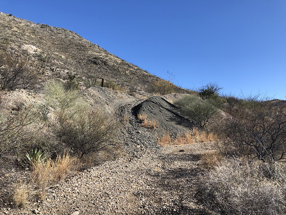
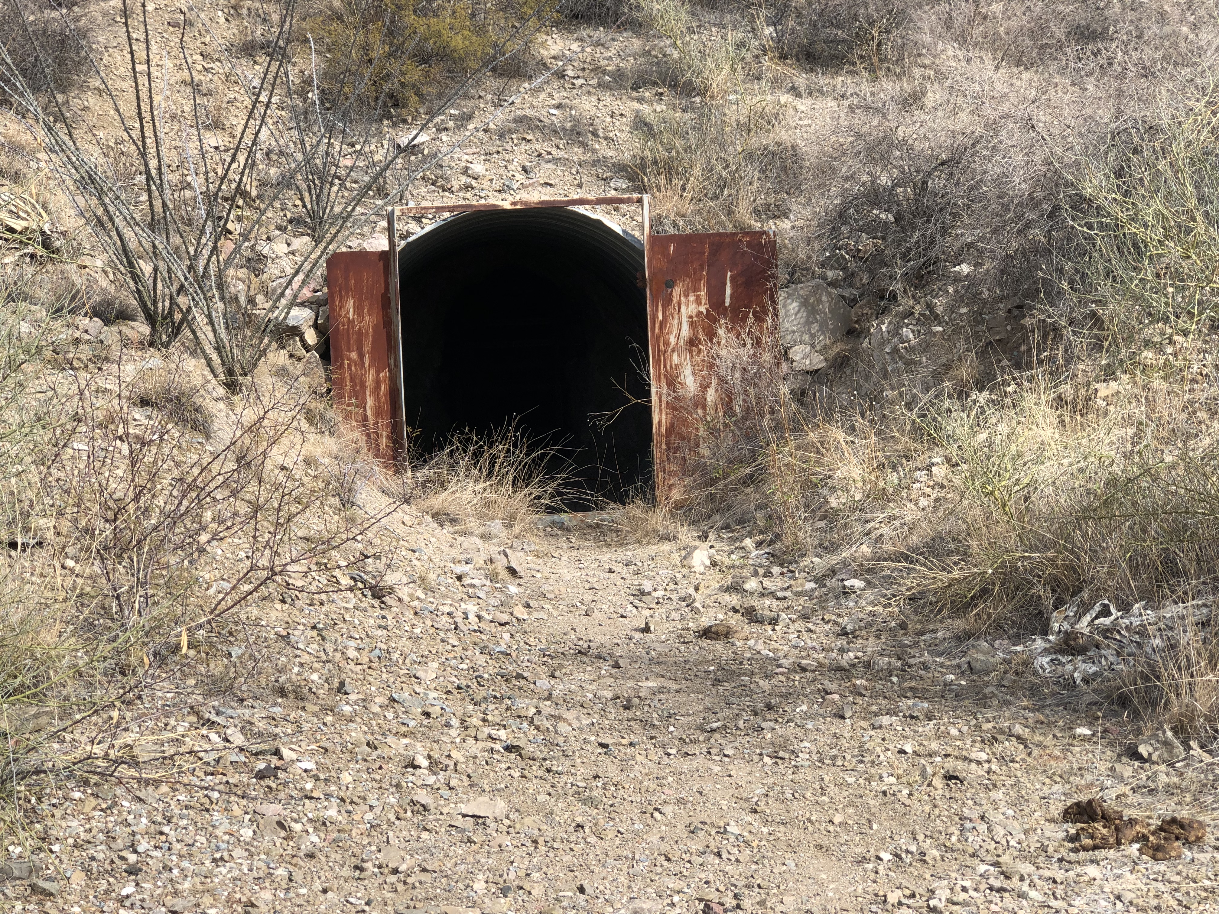
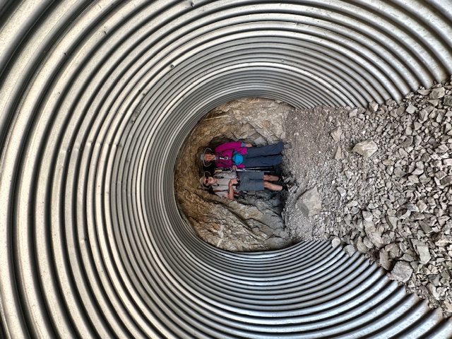
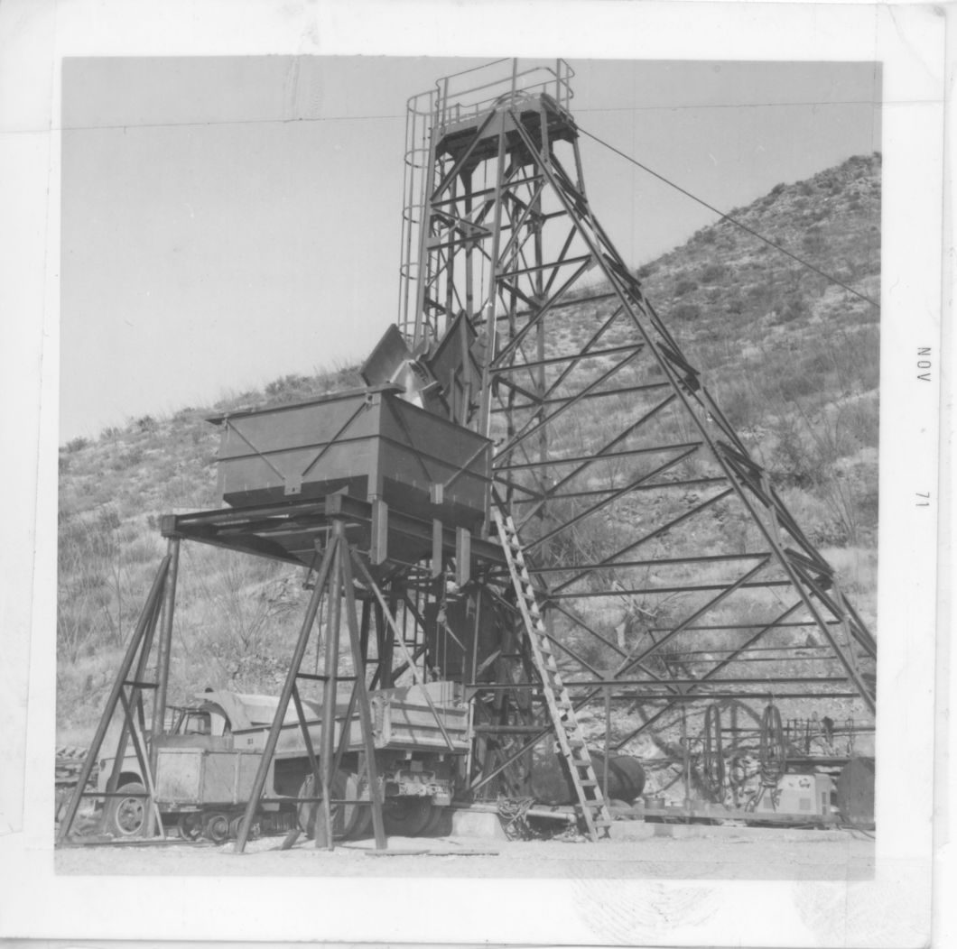
Alternate NamesSheehy O'Donnell, Blacksmith, O.K., Rover Mining District and MinesTyndall District Historical: Complex mine, 6 levels interconnected by shafts, winzes, raises and stope, over 400 feet in depth, over 5,000 feet of workings. Exploratory drilling in early 1970s (5, 24).1
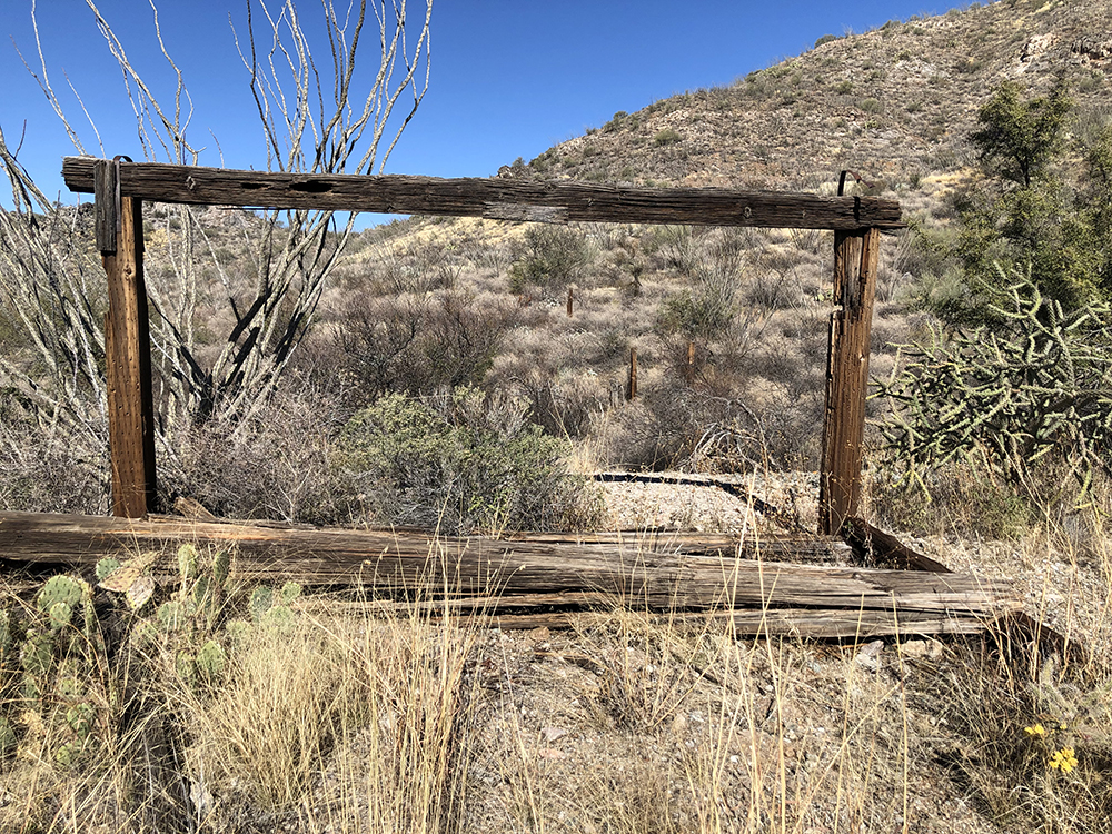
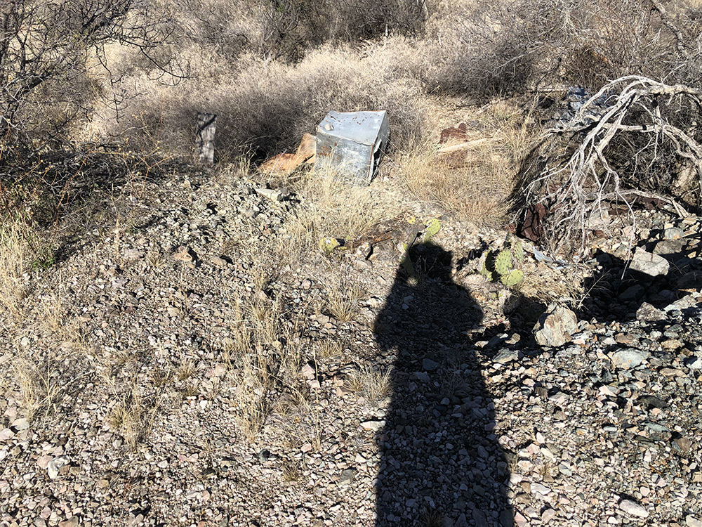
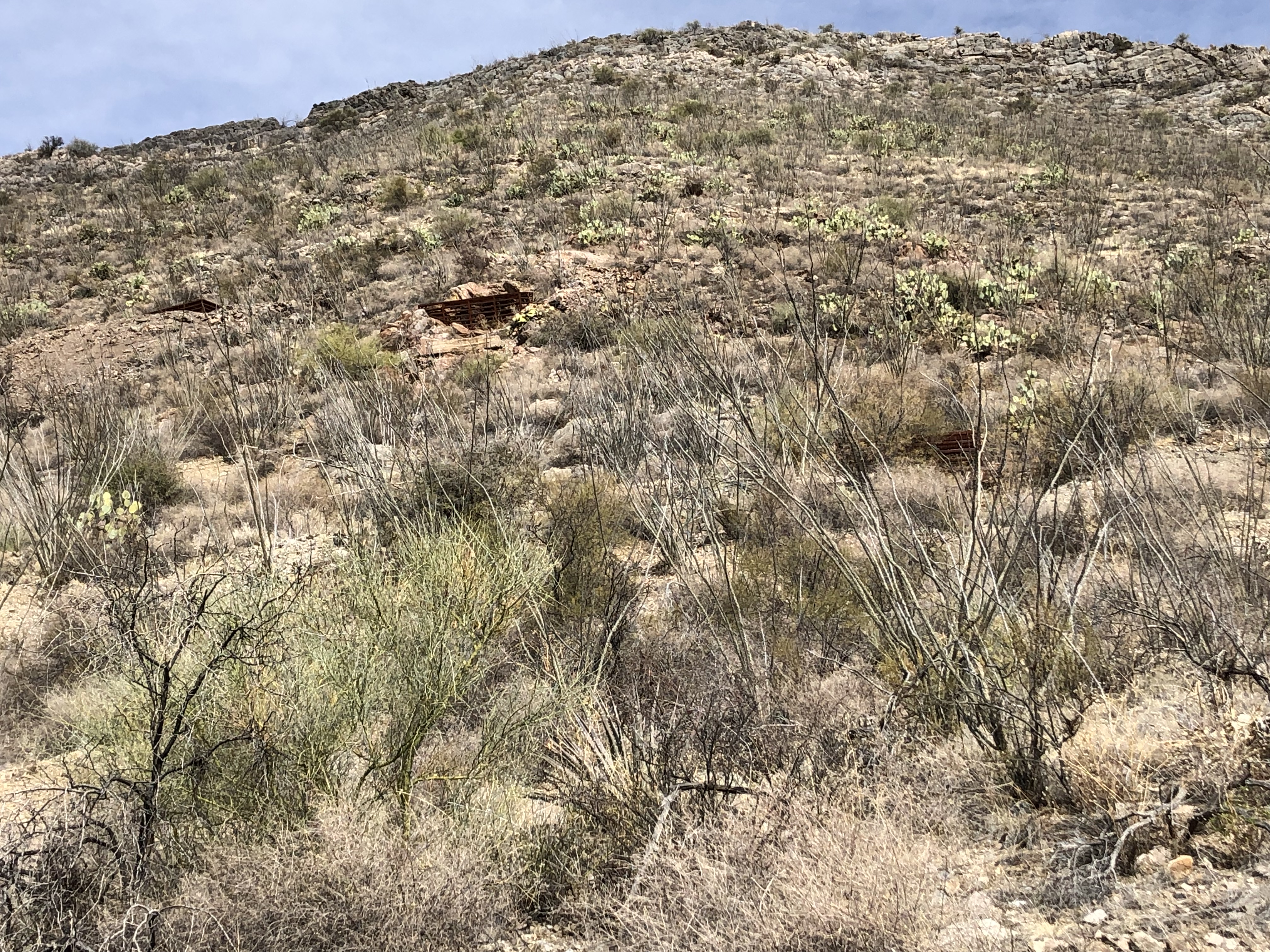
USBM: Many surface prospects and shafts, all openings inaccessible.1 Historical: The Sheehy-O'Donnell mine, owned by Messrs. Sheehy and O'Donnell, of Tucson, is 5 miles east of Chaves station on the Tucson - Nogales line of the Southern Pacific and 10 miles from the Pioneer smelter. It has made occasional shipments during the last few years, mostly to El Paso, and has recently been operated on a larger scale. it is opened to a depth of about 100 feet. The vein or lode is said to be 20 feet wide, and the mineralized zone in which it occurs is said to extend throughout the length of several claims. The ore is mostly lead-silver ore. The average shipments made to the smelter is reported to be about $30 to the ton, but the ore in the deep part of the mine contains in places about 40% zinc, 22% lead, and 14 oz./t silver. In September, 1914, the mine was bonded to a syndicate, which is working it under the name O.K. mine and producing 20 tons, of chiefly shipping ore. Forty men are employed under T. M. Parks, recently of the Elephant Head mine. Zinc ore as well as lead-silver ore is now produced. chiefly from a good lead-zinc showing along the limestone contact in the deep part of the mine. Some of the ore is hand sorted, and the zinc ore which is seperated is shipped to Colorado and Kansas for treatment. By September 15 seven cars of the ore had been shipped.2 Location31.65985N, 110.94707W4 31.65983N, 110.94678W4 S½, sec. 30 20S 14E Cen. & SE¼ 305 Mineral ProductsUSBM: Ag, 0.8 ppm; Au, 6 ppb; Cu, 525 ppm; Pb, 1,296 ppm; W, 482 ppm.1 GeologyReplacement and fissure-filling in permeable zones along faults and bedding planes in limestone. Ore zones contain argentiferous galena, sphalerite, and lesser amounts of quartz, pyrite, and chalcopyrite (5, 20, 24) 1 Argentiferous galena, sphalerite, and small amounts of pyrite, chalcopyrite, and quartz deposited in permeable zones at the interesection of bedding plane fault and favorable beds in Permian Naco limestone. Extensive solution of the limestone and deep oxidation concentrated cerussite, anglesite, wulfenite, and smithsonite in the leached caverns as sand carbonate ore.5 Type of Operation and ProductionHistorical: Intermittent production, 1911 - 1972, over 29,000 tons of ore averaging 22% Pb, 9% Zn, 7 oz/t Ag, 0.3% Cu, and minor Au (20)1
|