|
|
|
Mines Menu:
Mines Map
Use the links at the left to return.
|
|
Mine Descriptions |
|
Golden Gate Mine group | |
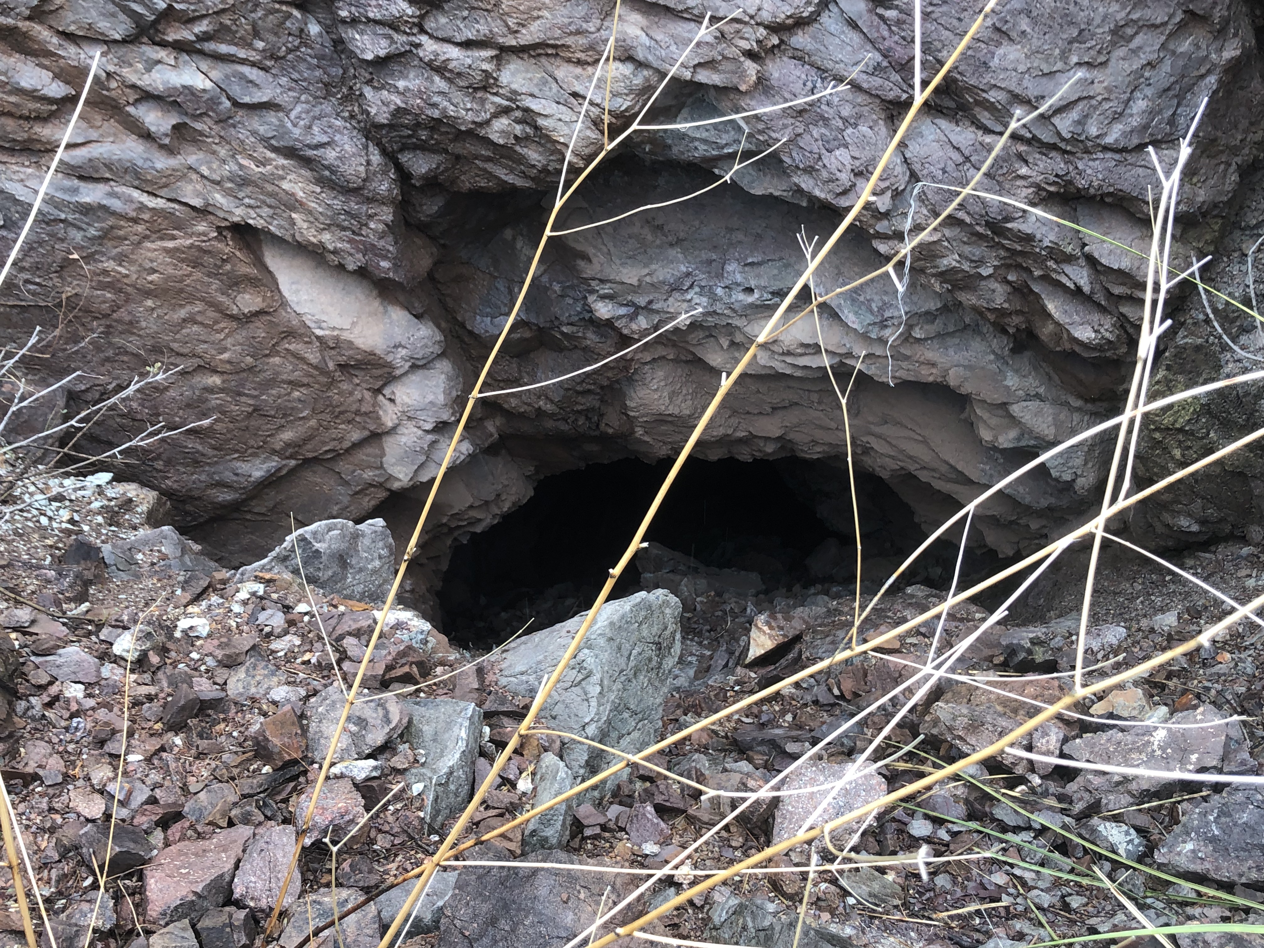
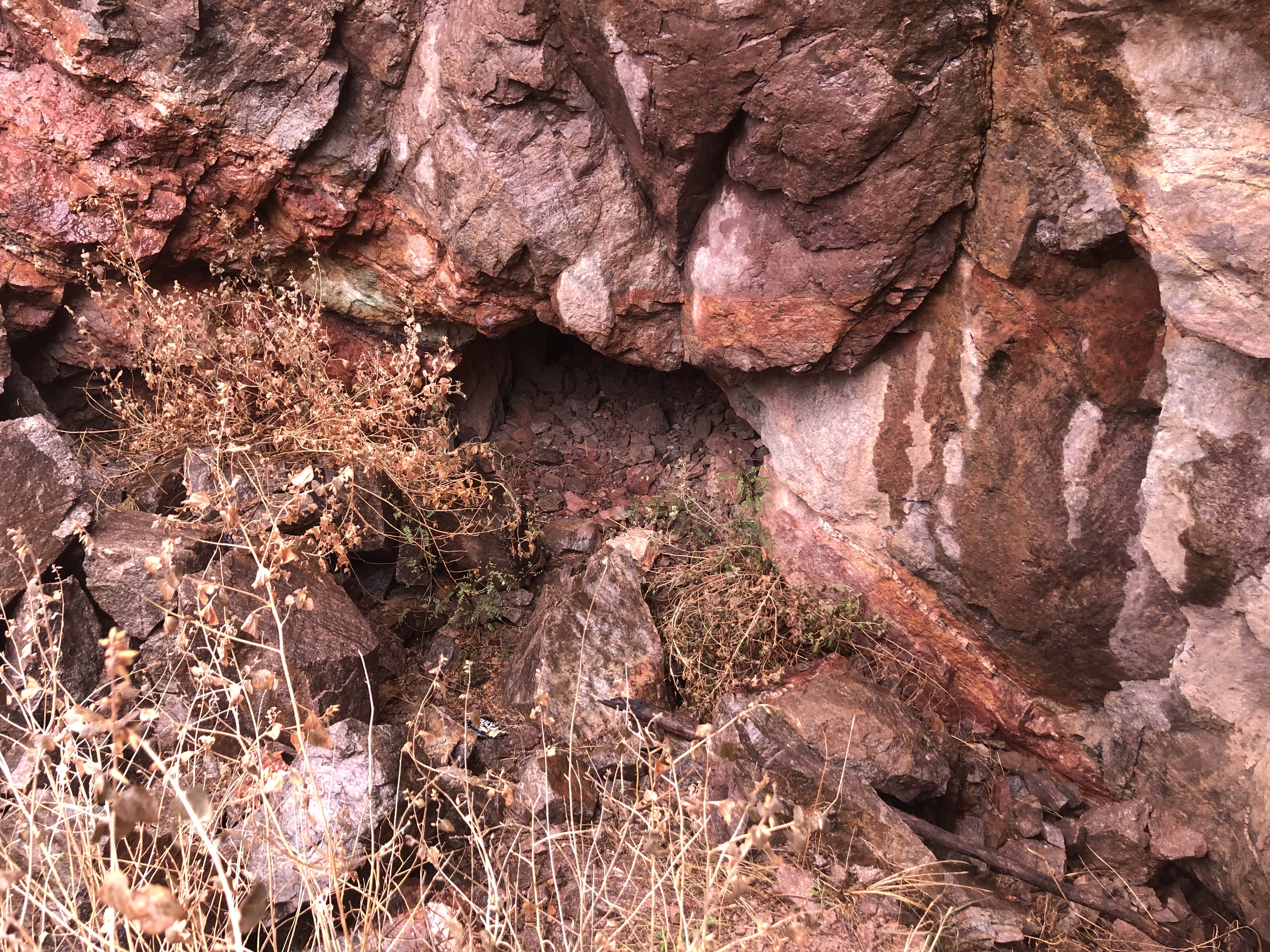
Alternate NamesLexington, Amarco (aka Amerco), Goldfish CompanyU. S. Grant, Holliday, Ramsey, Hunnell, Halbert, Nail, Arizona Mng. & Refng. Co.5 DescriptionThe Golden Gate group of claims lies 2½ miles southwest of Rosemont, along a ridge running northwestward from Deering camp and in the valley west of the ridge. The upper work is located along the Deering - Helvetia trail, about a mile northwest of the camp. Here there is a 40-foot incline on what appears to be a depositional contact of dull-red sandy shale and overlying limestone. This contact dips 45° E. At the botton of the incline there is a 20-foot crosscut whose face is in unaltered light-gray limestone. Along this contact movement has produced a shear zone about 15 feet wide composed of shattered altered limestone and sandy shale. In this zone, which is heavily iron stained, occur stringers and bunches of galena and a little malachite or azurite in films along slickensided surfaces. A little gold can be obtained from panning almost any of the more heavily iron-stained croppings, or from the silicaeous pockets at the surface, which show considerable limonite and cerusite.2 Mining District and MinesHelvetia District
Arizona Geological Survey Mining datahttp://docs.azgs.az.gov/OnlineAccessMineFiles/G-L/GoldengateminegroupPima171.pdf Location19S 15E SE¼ 1 NE¼ 125 Mineral ProductsAu, Ag, Pb, Zn-, Cu-.5 GeologyIrregular quartz stringers, lenses, and bunches containing partly oxidized base metal sulfides in fissure veins and replacements along thrust fault contacts of Palezoic limestone and Cretaceous sedimentary formations.5 Type of Operation and ProductionNumerous small shafts, tunnels, adits, and open cuts. Worked sporadically from 1880's to 1969, producing some 200 tons of ore averaging about 1 oz./t. Au, 3 oz./t. Ag, 4% Pb, and minor Zn and Cu5. Mine Shafts
References
|