|
|
|
Mines Menu:
Mines Map
Use the links at the left to return.
|
|
Mine Report |
|
Gringo Mine | |
Mining District and MinesWrightson District - southwest part of Santa Rita Mountains.
Photos
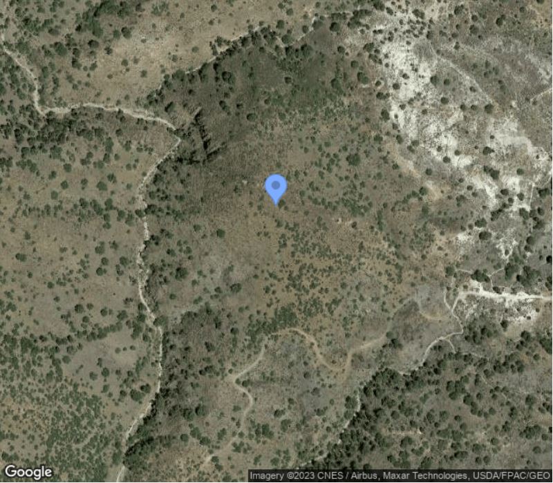
Location-110.7704, 31.5718 (WGS84)
CompaniesPREVIOUS OWNERS INCLUDE ARIZONA GOLD MINES & MILLING CO, (1907) ALTAMIRANO, RICHMOND, M. SANCHEZ; 9 CLAIMS3 Mineral ProductsAu primary; Pb, Cu, Ag secondary; Zn, Mo tertiary3 GeologyMiddle Member Of Bathtub Formation (Andesite Flows); Gringo Gulch Volcanics, Dacite Porphyry3. E-W Trending Quartz Fissure Veins; Andesite Is Cut By Steeply S-Dipping Sheeting Structures, Dipping About Parallel With Lode. Gold Is Uniformly Distributed In Vein But Generally Favors Footwall and Is Only Rarely Found In Hanging Wall.3 Series of irregular lensing quartz-calcite veins, some course grained, banded quartz, minor calcite, and crushed rock, containing fine grained free gold with minor silver, iron and mangamese staining and sparse copper and lead sufides and molybdenates, deeply oxidized. Others with more calcie contain more copper and lead mineralization. Wall rock is Cretaceous rhyolitic tuff and andesite1. Type of Operation and ProductionDEPOSITS CONTAINED MAINLY IN 2 VEINS THE GRINGO AND THE INDEPENDENT WHICH EXTEND SEVERAL MILES; VEINS RANGE IN WIDTH FROM 5-20 FT; GRINGO VEIN ACCOMPANIED IN PLACES ON FOOTWALL BY A 7 FT DIKE WHICH CARRIES ALMOST SAME AMOUNT OF GOLD AS VEIN AND SEEMS TO BE A METASOMATIC REPLACEMENT DEPOSIT IN WALL ROCK; INDEPENDENT VEIN IS ABOUT PARALLEL TO AND 600 FT N OF GRINGO VEIN; WIDENS TO 40 FT WHERE JOINED BY SPUR VEINS; PROPERTY EXTENDS 4500 FT ON VEIN3. Shaft operations. Discovered in the 1890s but worked mainly for gold 1907-1908. Minor lead-copper production in 1929-1930 and 1937. Total output some 100 tons of 0.43oz. Au/T and 0.5 oz. Ag/T and some 40 tons of 6% Pb, 4% Cu and 12 oz. Ag/T1 Incorrect location Arizona Geological Survey - correspondence files4
Modern Mining Claim
1. The above map depicts the Christmas 2 mining claim which is located in Section (s) 26, Township 21 South Range 15 East Gila and Salt River Base and meridian Santa Cruz County Arizona. Total Claim Acreage is 20.66 acres. 2. The type of corner and location monument used are as follows: White Capped PVC Pipes. 3. The bearings and distances in degrees and feet between claim corners and to a public land survey monument are as depicted on the map. LOCATION NOTICE FOR LODE MINING CLAIM RECEIVED BLM AZ STATE OFFICE 2019 JAN 28, PHOENIX ARIZONA References
|