|
|
|
Mines Menu:
Mines Map
Use the links at the left to return.
|
|
Mine Descriptions |
|
Heffern Mine, Leslie Canyon | |
|
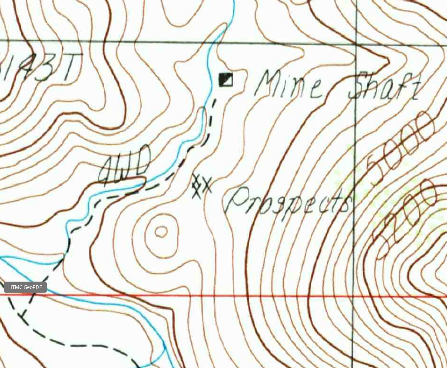
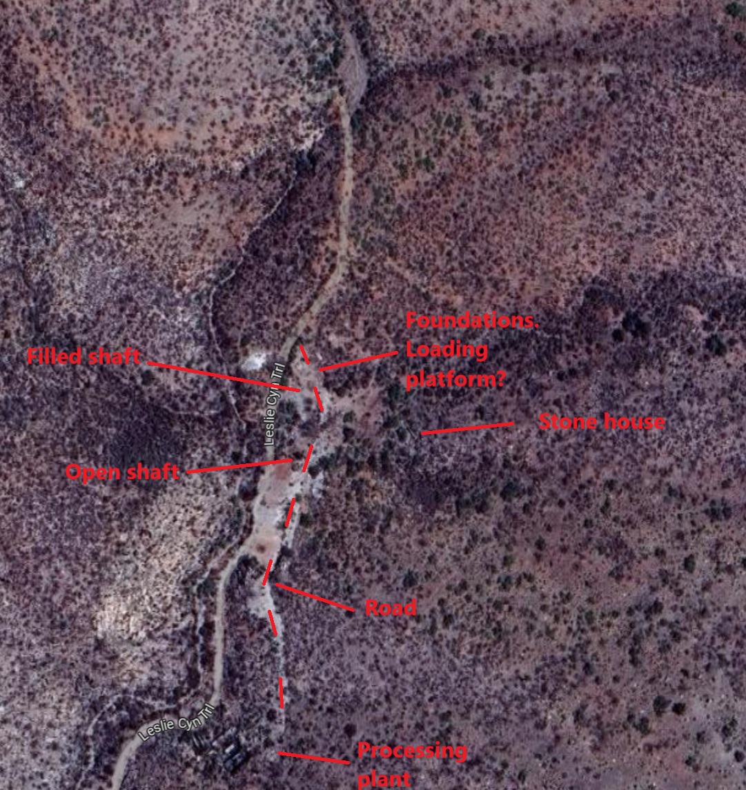
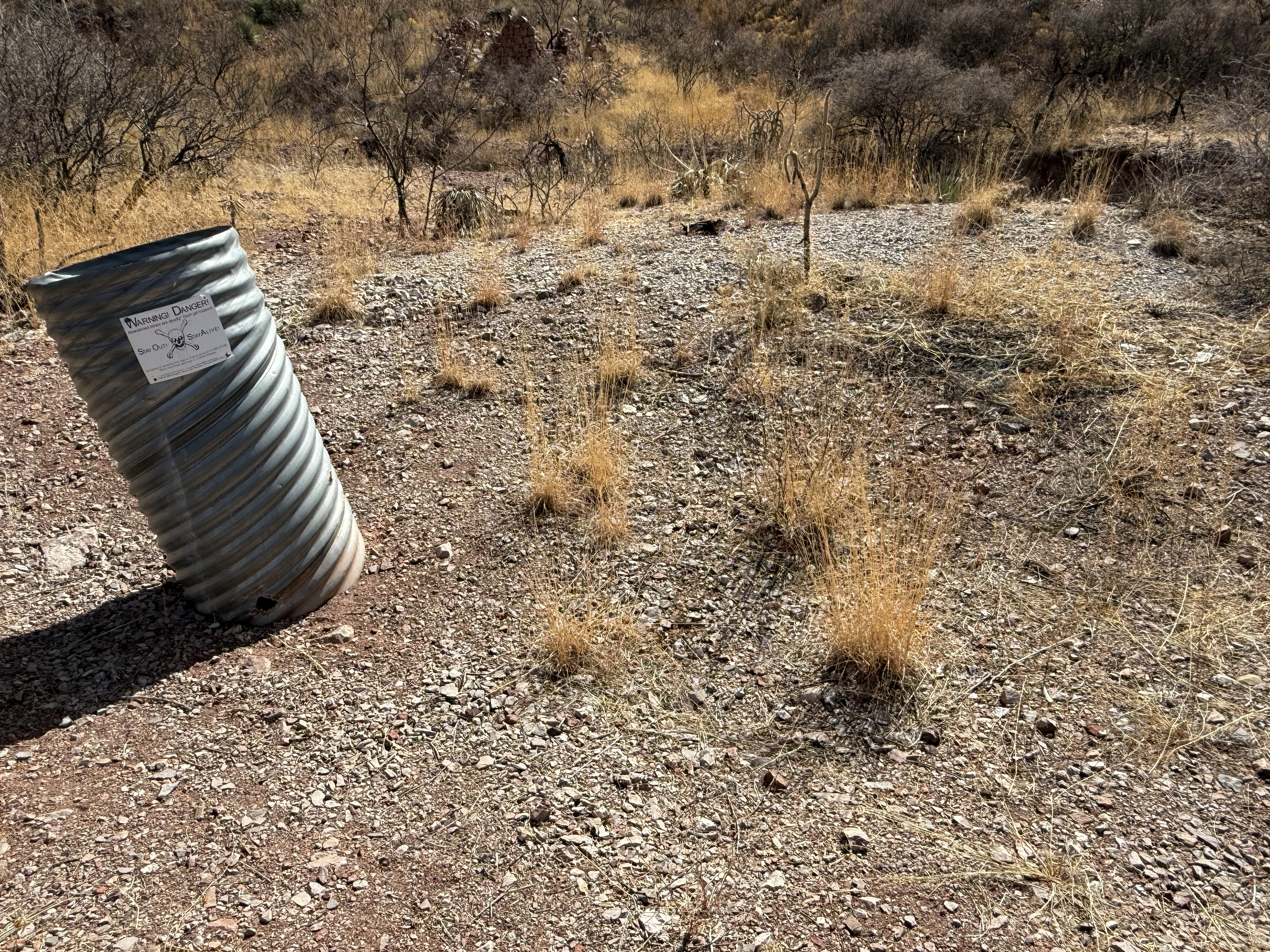
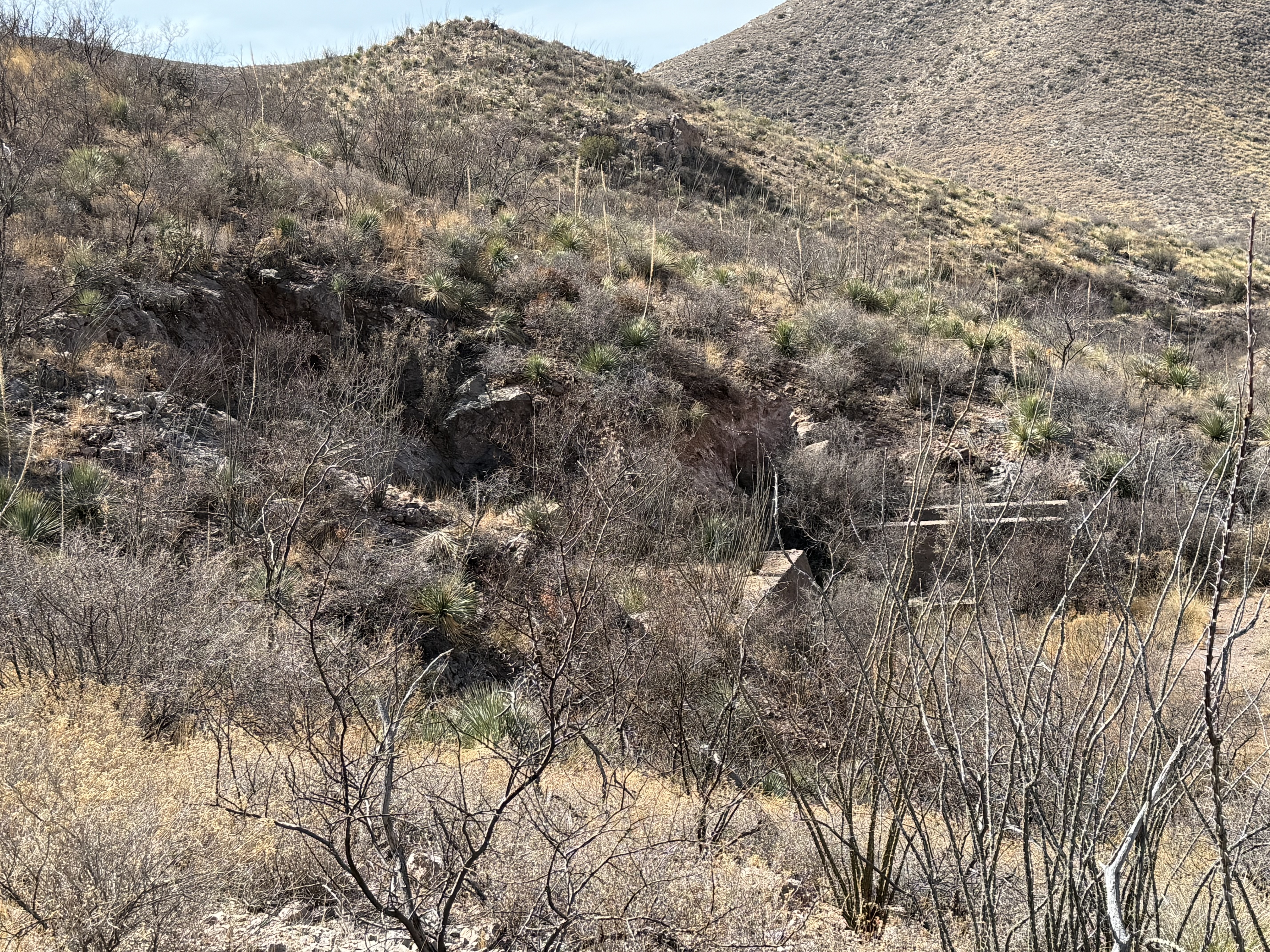
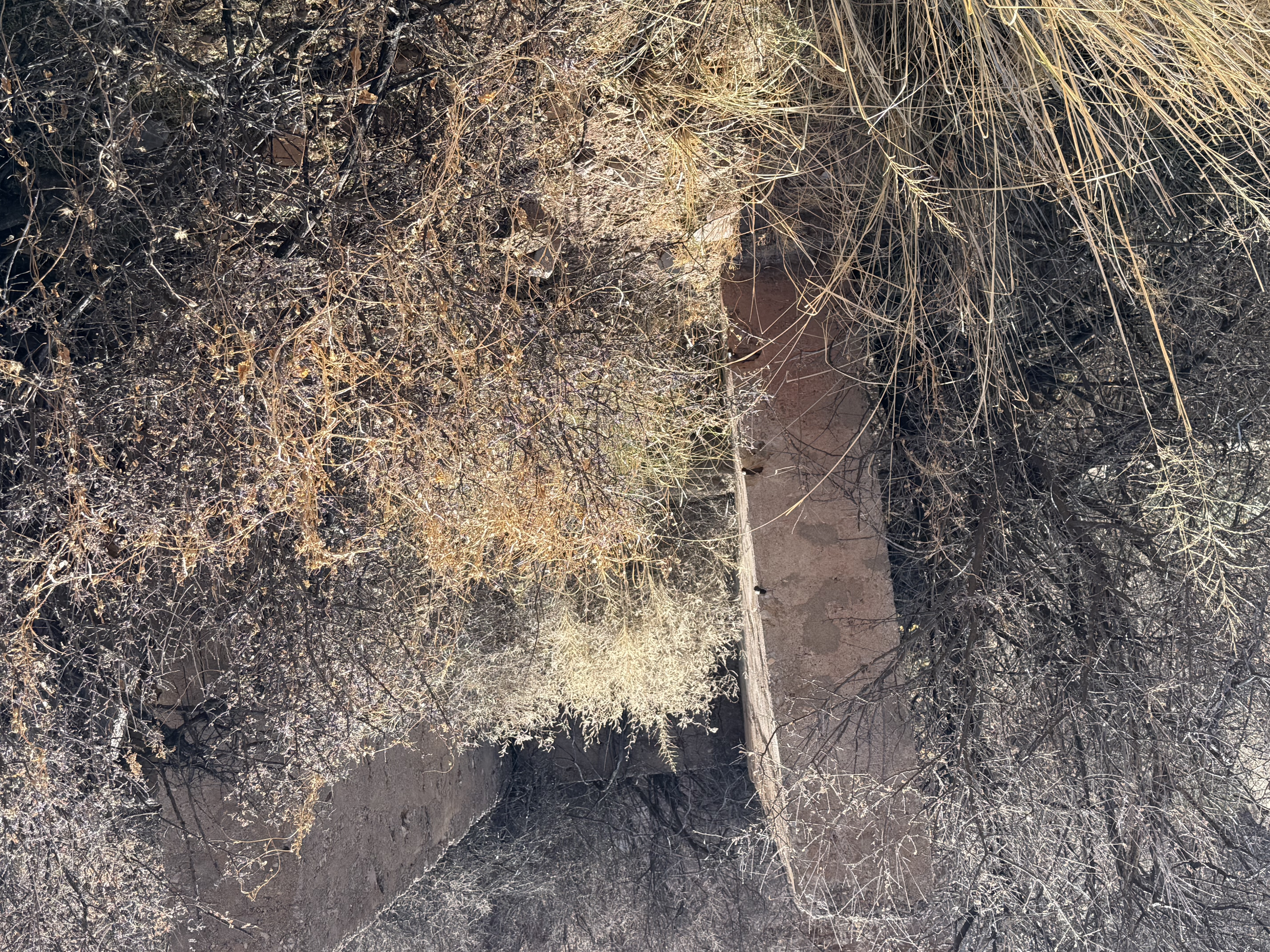
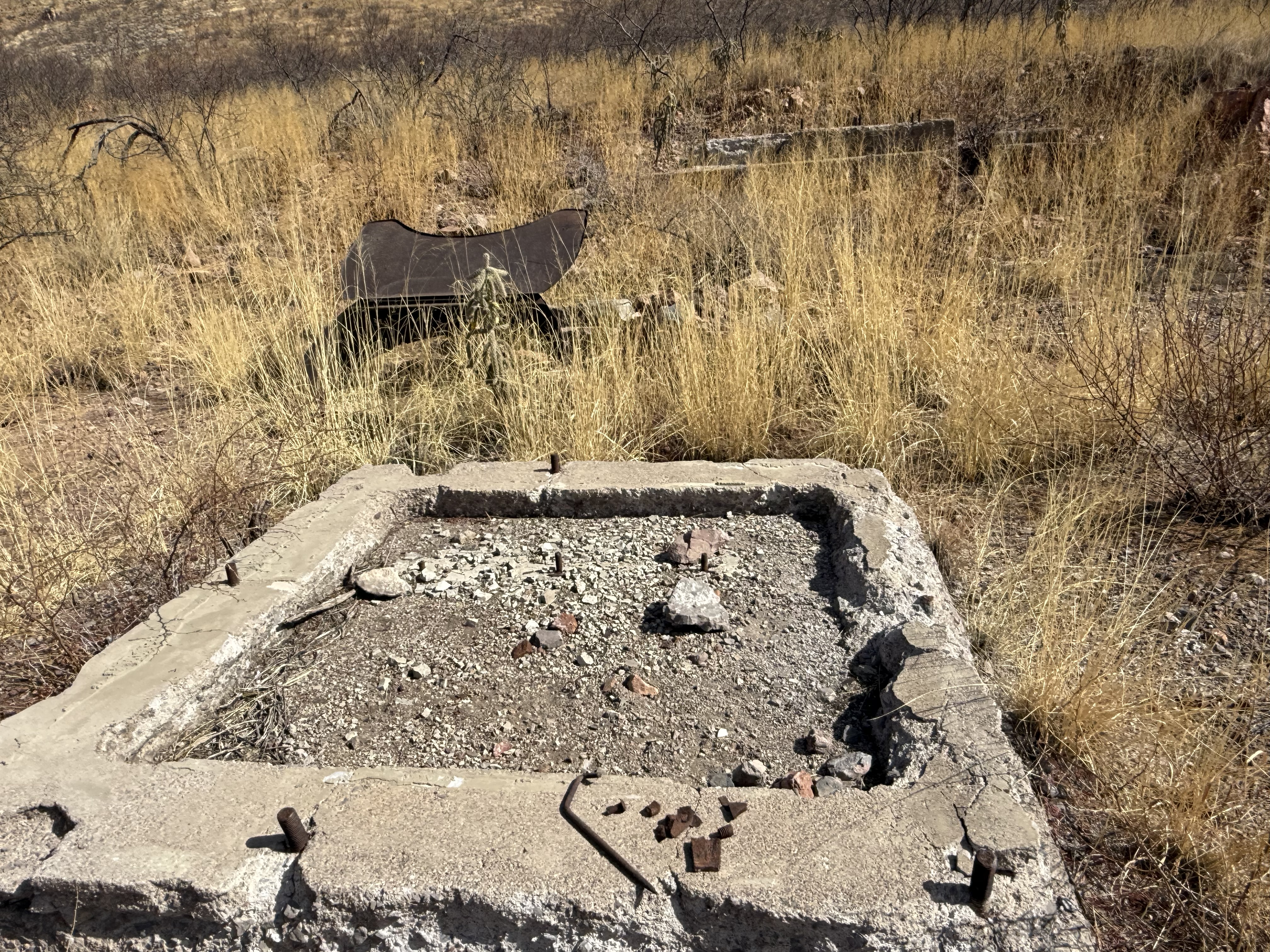
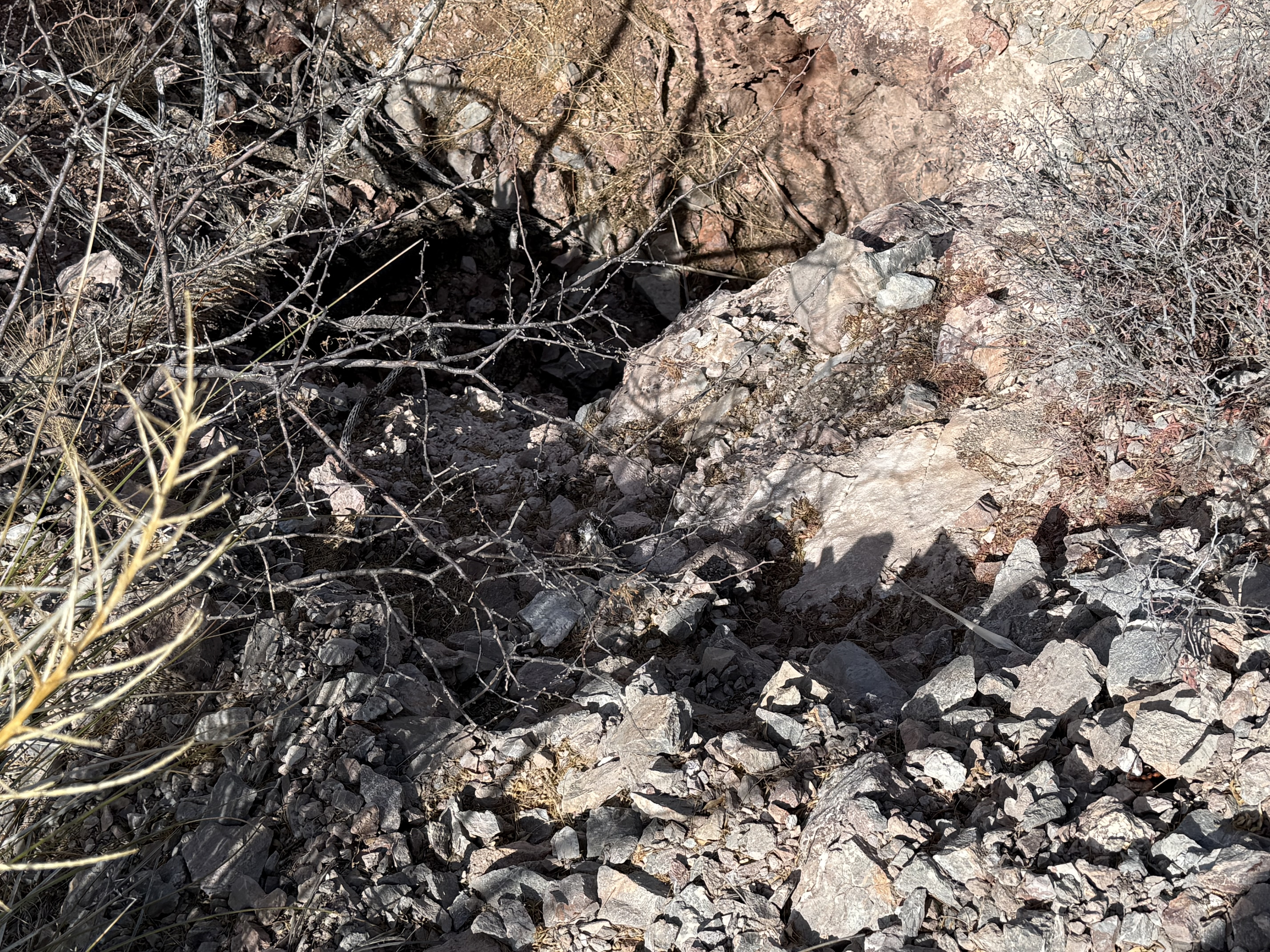
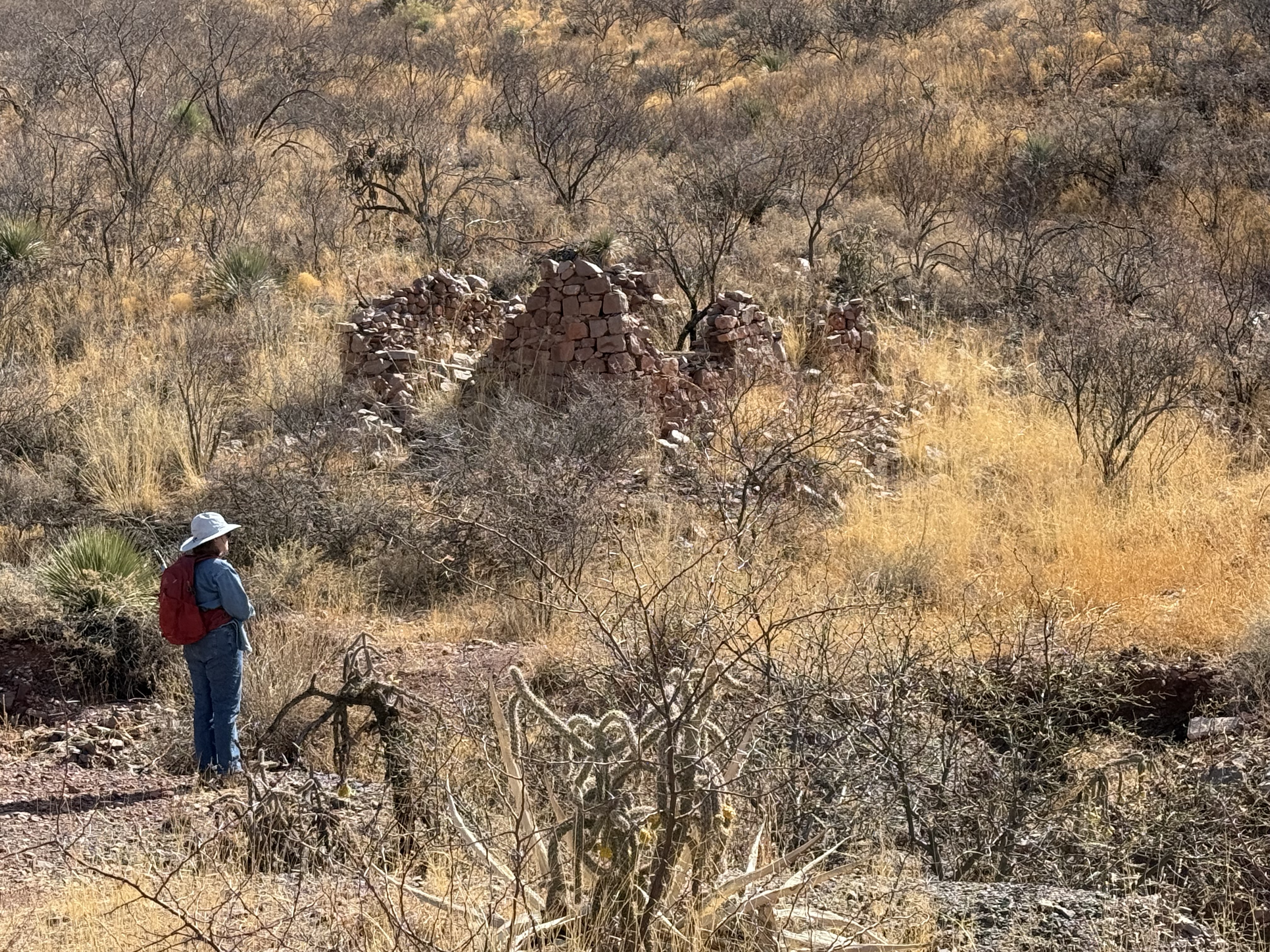
Alternate NamesBuffalo CompanyHeffern Cooperative Consolidated Gold Mining And Milling6 Mining District and MinesSwisshelm Mining District? Location31.7238, -110.87693 Mineral ProductsAu, Ag, Pb7 Visit ReportsTried to visit Heffern mine but road blocked off; could see dump and site of workings. GWl WR 3/19/75 MG WR 5/27/88: Visited the Heffern mine (file) Cochise County. It is located in the SW1, Sec 17, T21S R28E. The mine is on the contact between an andesite and limestone. Near the contact, the limestone is marbelized. Coarsely crystalline calcite was observed. Locally, the andesite is brecciated. The main shaft is +100 feet deep and is probably caved. Nearby, to the north, is another shaft that is caved at about 30 feet. To the south of the main shaft are the ruins of a mill foundation. Near the north shaft is a drill hole (rotary?) marked "Santa Fe 2." References
|