|
|
|
Mines Menu:
Mines Map
Use the links at the left to return.
|
|
Mine Descriptions |
|
Hughes Mine | |
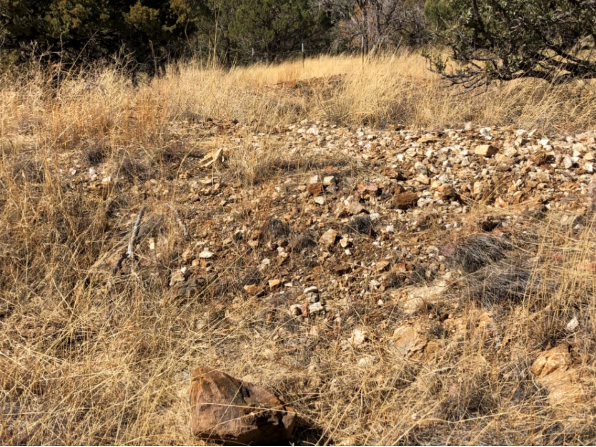
Mining District and MinesGreaterville Area The Hughes Mine is in the crest of the Santa Rita range 1½ miles south of Melendreth Pass on a 6 foot quartz vein in the granite. It is opened mainly by a 45 foot shaft which shows lean sulphides beginning within 5 to 6 feet of the surface. it was worked in the middle 80s [1880s], three arrastres being employed to grind out the surface ore, which, it is said, averaged about $100 to the ton in silver and gold.2
Historical: shaft, 45 feet deep (3)1 Location31.6020N , -110.8309W3 31.60183N, -110.82958W4 SE¼, sec. 17 Mineral ProductsUSBM: Ag, 0.2 - 130 ppm; Au, <5 - 1,220 ppb; Cu, 14- 4,327 ppm; Pb, 220->10,000 ppm; Zn, 22- 30,000 ppm.1 GeologyQuartz view, 6 feet thick, cutting granite; loan sulphides, Ag- and Au-bearing.1 Type of Operation and ProductionWorked in mid-1880s, averaged about $100 / t Ag and Au.(3)1 References
|