|
|
|
Mines Menu:
Mines Map
Use the links at the left to return.
|
|
Mine Descriptions |
|
Lucky Ledge Mine | |
|
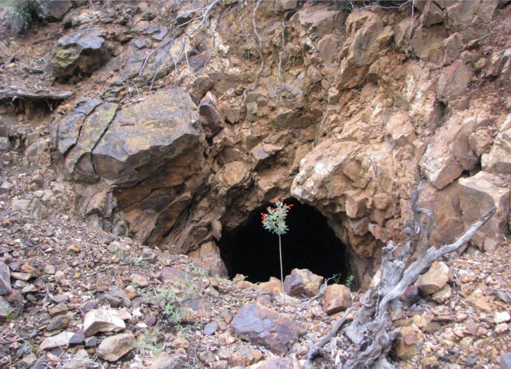
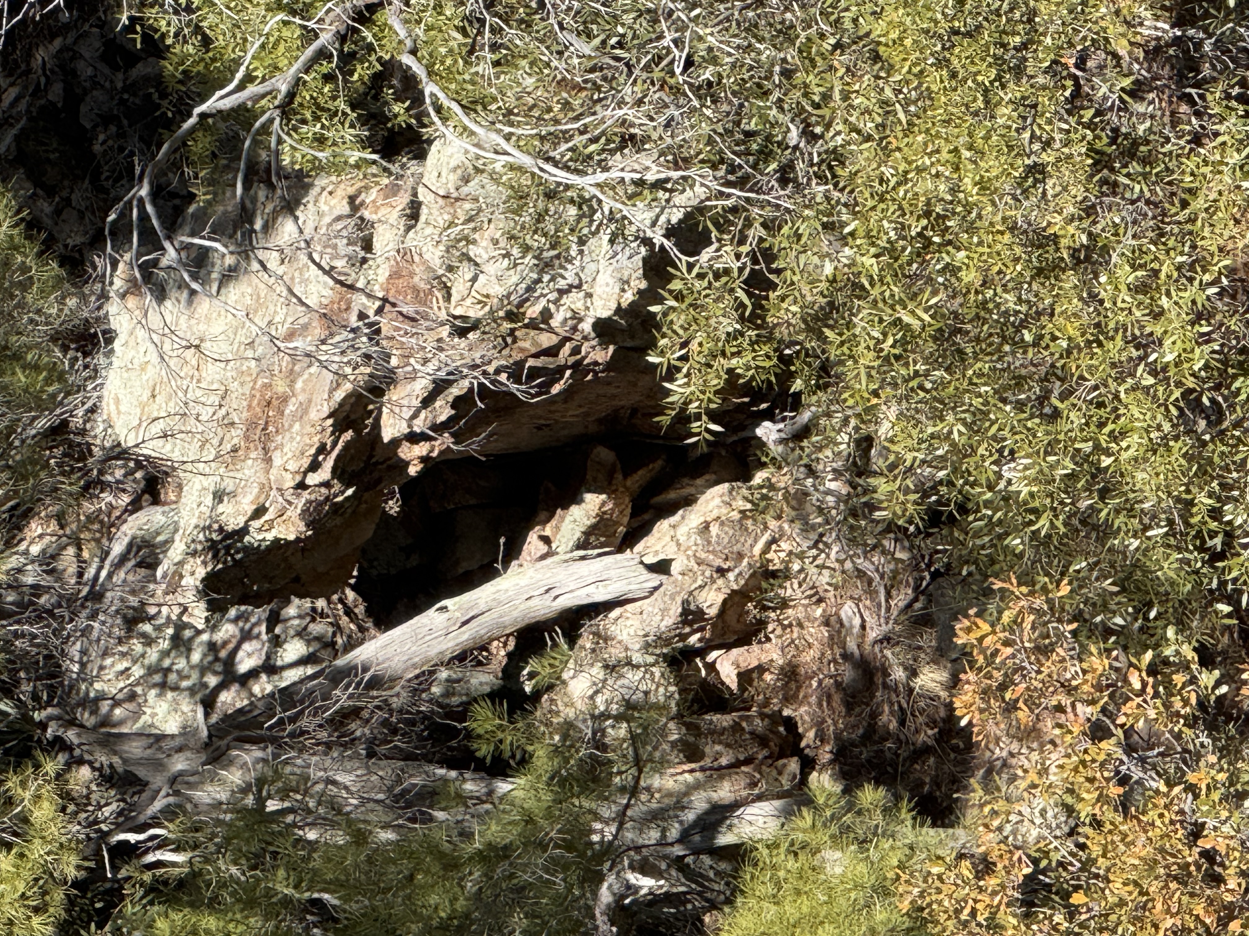
This mine has 2 entrances, a lower (the main entrance) and an upper. The Lucky Ledge Mine, owned by the Madera Copper Co., of Los Angeles, is located on the east side of the east fork of Madera Canyon 1½ miles north of the Littleshot camp, on a piedmont ridge at the northwest base of Old Baldy and the foot of the Old Baldy fault scarp, at an elevation of 6,350 feet. The deposit was discovered in 1903 by W. P. Scott and has been worked more or less steadily since 1905. The croppings consist of a north-south 10 foot lamprophyric porphyry dike in micaceous quartz schist. Both the dike and the schist seem to be parallel jointed. The joint planes are coated with limonite and malachite and the schist contains much epidote and garnet along the contact. The metal of the deposit is copper, but the workings at the time of visit showed only malachite-strained rock in a few places and some bunches or pockets of amphibolite with dark-green epidote and a little barite, containing besides malachite a little pyrite and chalcophyrite. At 150 feet in from the mouth of the tunnel a 12-foot shear zone of soft altered material contains stringers of copper-stained calcite and quartz. It is reported, however, that recently the mine has been developed by 3,000 feet or more of new work. The vein, supposedly the Copper Queen vein, described later, has, it is said, been cut in the upper tunnel and found to carry good ore, and it will soon be reached also by the lower tunnel, which is several hundred feet lower down and will give several hundred feet of back. The lower tunnel is now 700 feet long. The vein is said to be very wide, being of the nature of a shear zone. The ore contains principally copper sulfide with moderate quantities of gold and silver.2 Lower Entrance
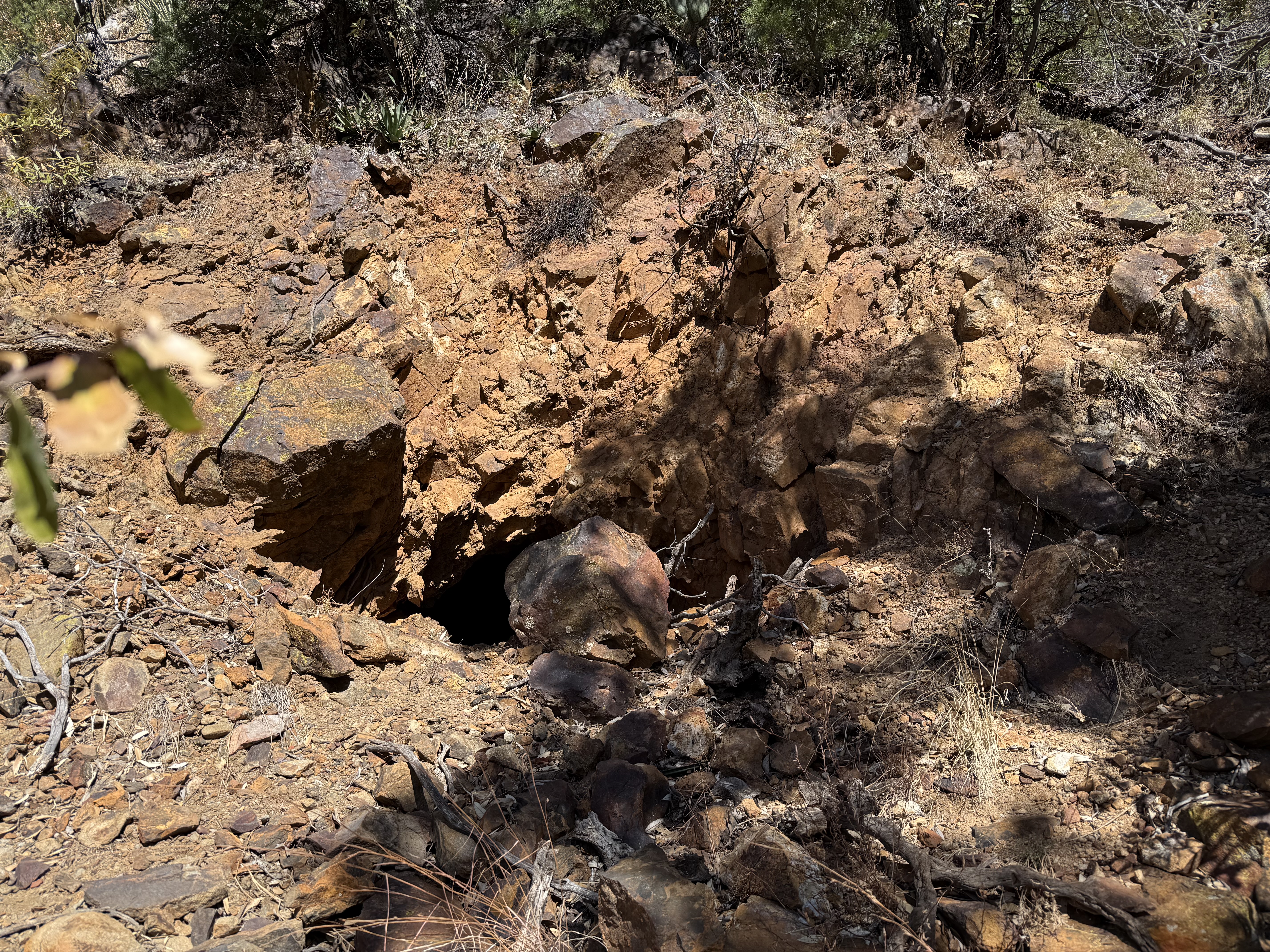
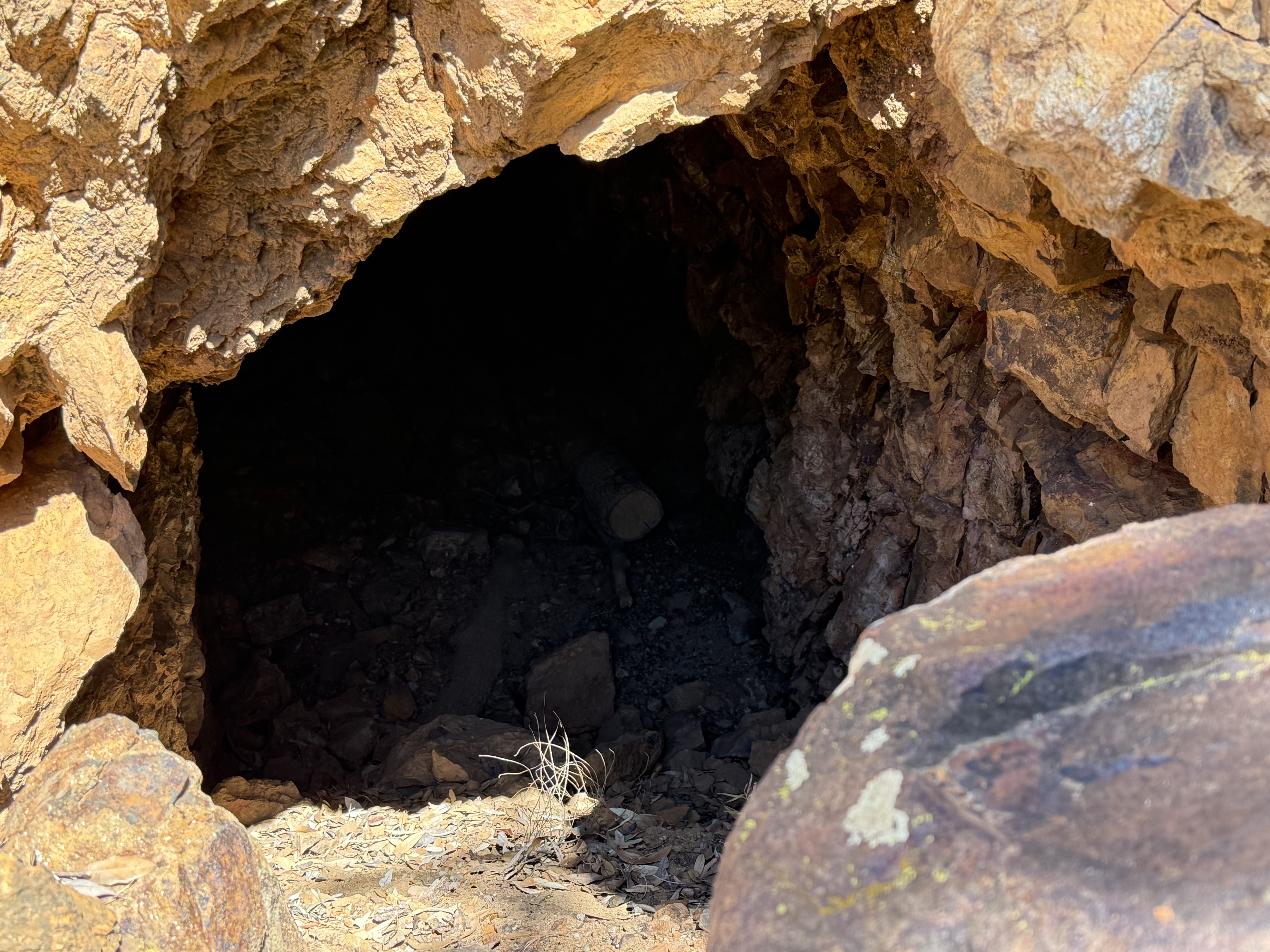
Upper Entrance
Alternate NamesNone Mining District and MinesOld Baldy District LocationNE¼12 31.71556,-110.869444; Santa Cruz county GeologyShear zone in metaplutonic (schist) rocks cut by lamprophryic dikes. Mineralized areas contain principally copper sulfide, gold and silver.1 Type of Operation and ProductionHistorical: Tunnel 175 ft. long. Possibly developed to 3,000 feet or more at a later date, with tunnels at two levels, the lower of which is 700 feet long. 1 USBM: Not examined. No workings were found in the location of the adit symbol on USGS Mt. Wrightson 7.5 min. quad.1 References
|