Mine Descriptions

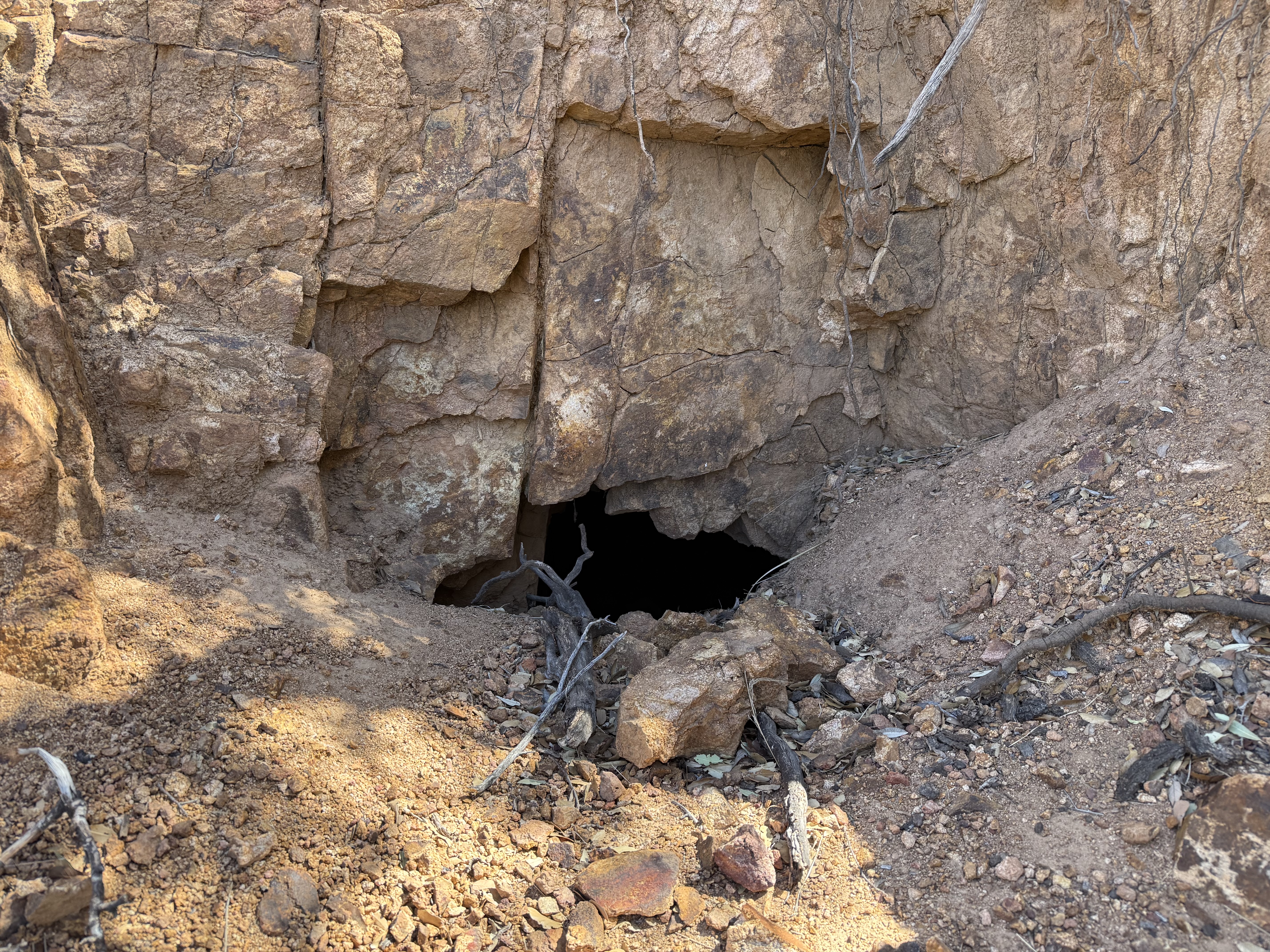
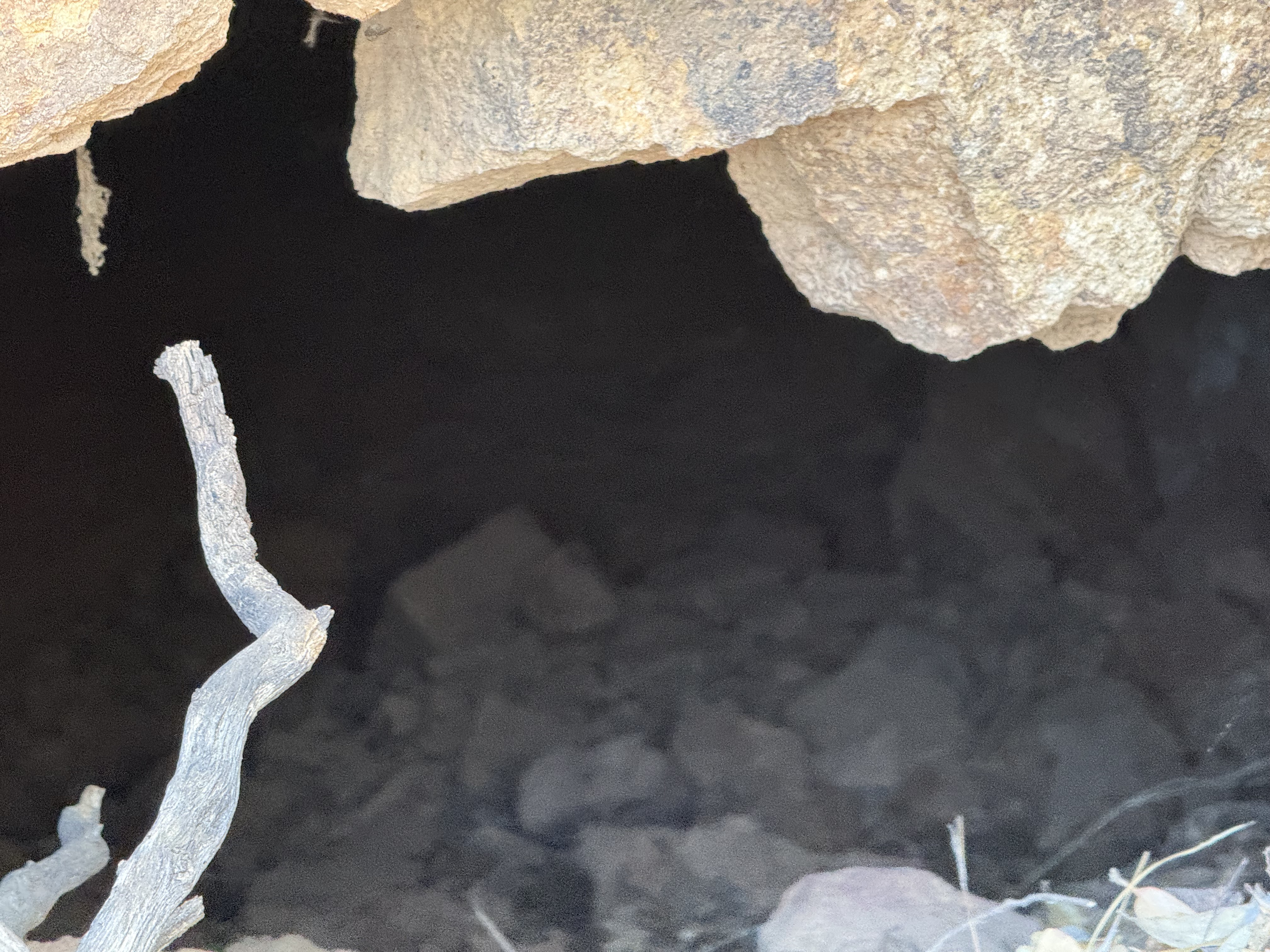
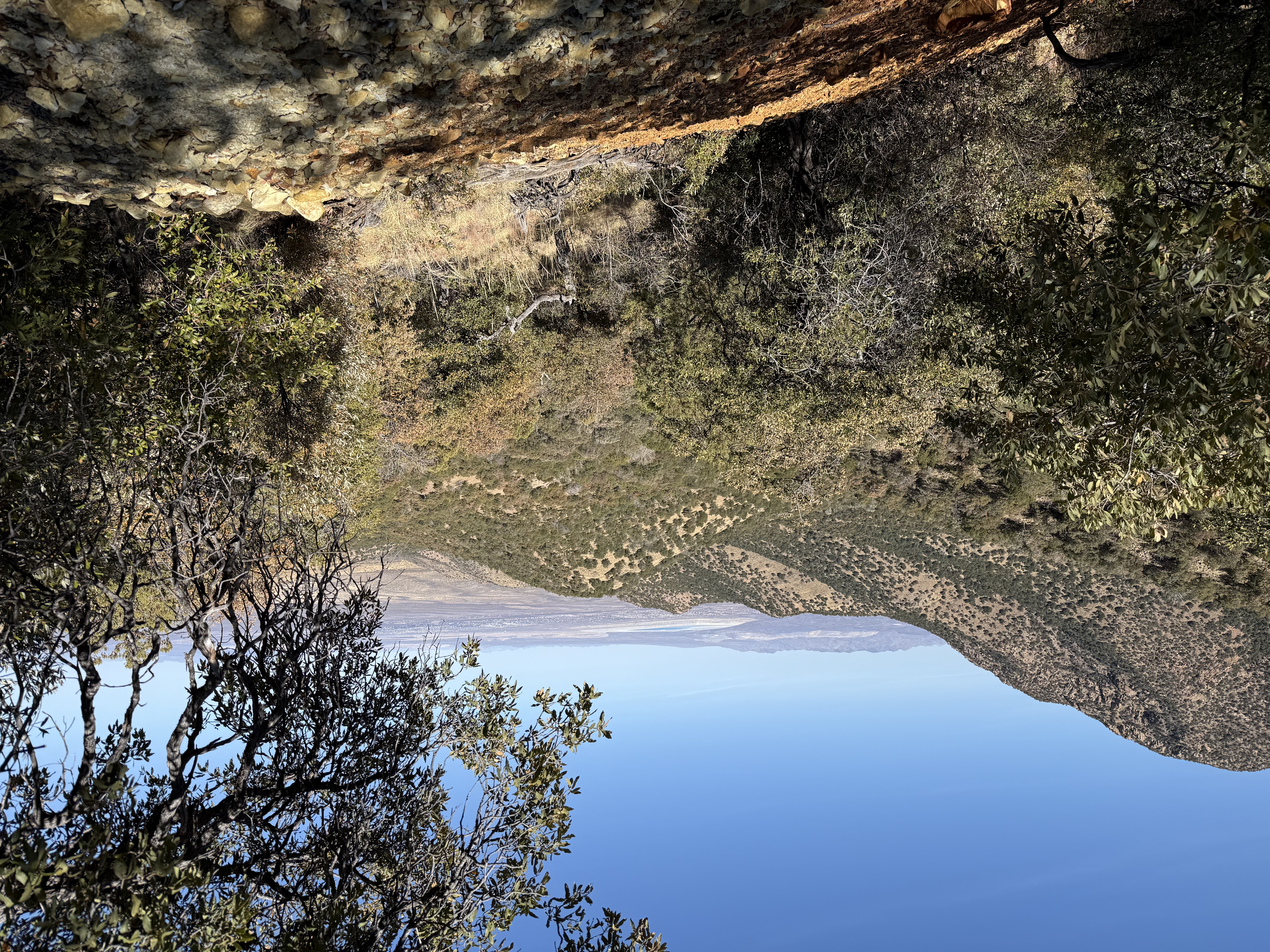
Madera Canyon Prospect 2


adit image not found
Adit3

adit image not found
Adit close up3

 image not found
View from top of tailings pile3

Mining District and Mines

Old Baldy District

Location

31.7238, -110.87693


References

  1. Mineral Appraisal of Coronado National Forest, Part 12, Santa Rita Mountains Unit, MLA11-94 (1994). SR 591-609
    http://repository.azgs.az.gov/sites/default/files/dlio/files/nid1813/usbm_mla_011-94.pdf
  2. Mining in the Santa Rita and Patagonia Mountains of Arizona, F. C. Schrader, U.S. Department of Interior, 1915. Republished 2014 by Kerby Jackson.
  3. Mike Bertram, 2/18/25
  4. USGS Mineral Resources Data System - using WGS84 (https://mrdata.usgs.gov/mrds/map-commodity.html#home)
  5. Index of Mining Properties in Santa Cruz County by Stanton B. Keith, bulletin 1991, Arizona Geological Survey, 1975
  6. WesternMiningHistory.com
  7. https://www.gvrhc.org/Library/LuckyLedgeMine.pdf