|
|
|
Mines Menu:
Mines Map
Use the links at the left to return.
|
|
Mine Descriptions |
|
MorningStar Mine | |
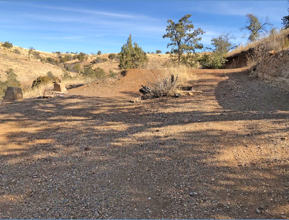
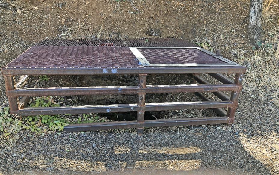
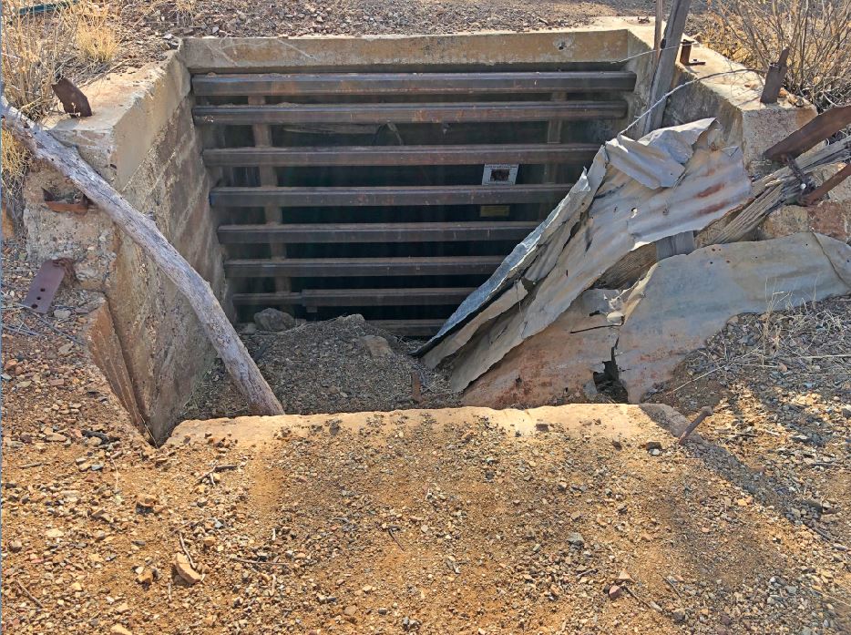
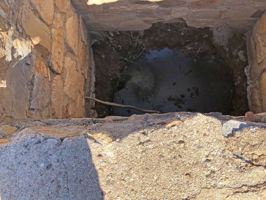
Mining District and MinesGreaterville Area Morningstar Mine Type of Operation and ProductionHistorical 1885: 75 foot shaft and drifts (3);
USBM: Underground was inaccessible; surface examined only1 Alternate NamesSt. Louis1 Isabel1 Location31.760404, -110.7630533 31.75902, -110.764294 S. ctl. sec. 24 Mineral ProductsHistorical: 1875- 1946: sporadic production, 300+ tons of ore averaging about 6% Pb, 7% Zn, 11 oz / t Ag, , 0.5 oz / t Au, and 1% Cu (1). USBM: Ag, 2 - 23 ppm; Au, 56 - 3,600 ppb; Cu, 375 - 2,277 ppm; mn 745 - 3,495 ppm, Pb, 346 - 4,598 ppm; Zn, 1,144 - 5,204 ppm.1 GeologyDiscontinuous, pinching and swelling (generally less than 1 foot thick, but as thick as 2 feet), subparallel veins, mostly of quartz, occur as replacement and open space-filling along bedding planes in a sequence of sedimentary and metasedimentary rock units. Veins contain pyrite, galena, sphalerite, and chalcopyrite, with minor amounts of gold and silver and sparse molybdenum. Pyrite is also disseminated along veins into wall rock (17).1
References
|