|
|
|
Mines Menu:
Mines Map
Use the links at the left to return.
|
|
Mine Descriptions |
|
Quantrell Mine | |
Alternate NamesPart of the Elephant Head group of mines - Horse Shoe, Grand Prize, Look Out, Tip Top, Quantrell, Eureka, Homestake, and Stonewall Claims, plus Elephant Head Mill Site.
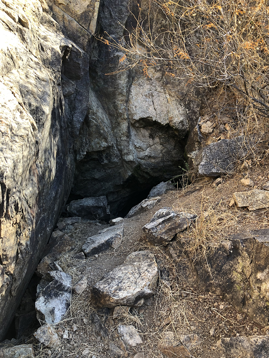
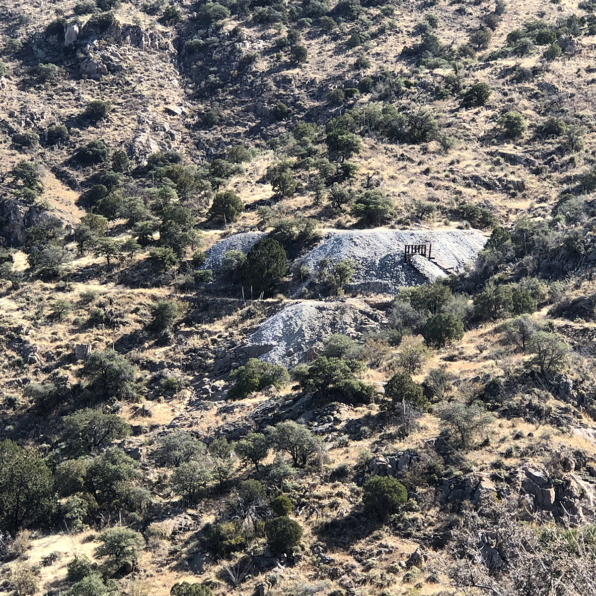
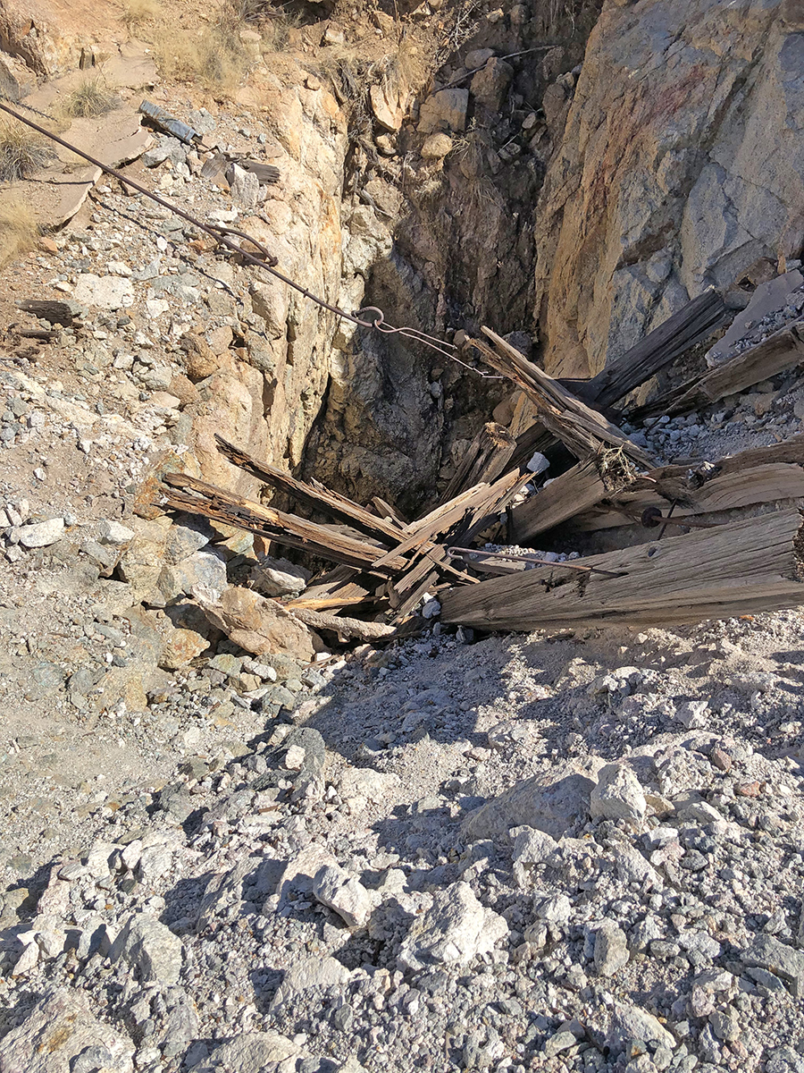
Reference [2] Mining District and MinesTyndall District Historical: Shaft, 228 feet, and 769 feet of total workings.
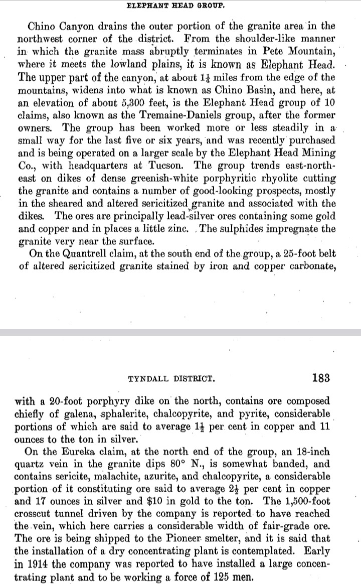
USBM: Quantrell mine adit connects to caved shaft.1
Location31.710118N, 110.9246793 SW¼, sec. 4 Mineral ProductsHistorical: much of the ore averaged 1.5% Cu and 11oz/t Ag.1 USBM: SR 315 - 327: Ag, <0.2 - 114 ppm; Au, <5 - 1,180 ppb; Cu, 9 - 10,000 ppm; Pb, 24 - 10,000 ppm; Zn, 16 - 20,000 ppm.
GeologyQuartz monzonite that has been intruded by rhyolite dikes, then faulted, altered, and mineralized. Argentiferous minerals were deposited in the fault and clayey alteration zones. Quartz veining, chalcopyrite, and pyrite were observed, and galena and sphalerite have been reported. (3, 20) 1 Type of Operation and ProductionHistorical: Early 1900's and 1913 - 1914? (20)1 References
|