Mine Descriptions

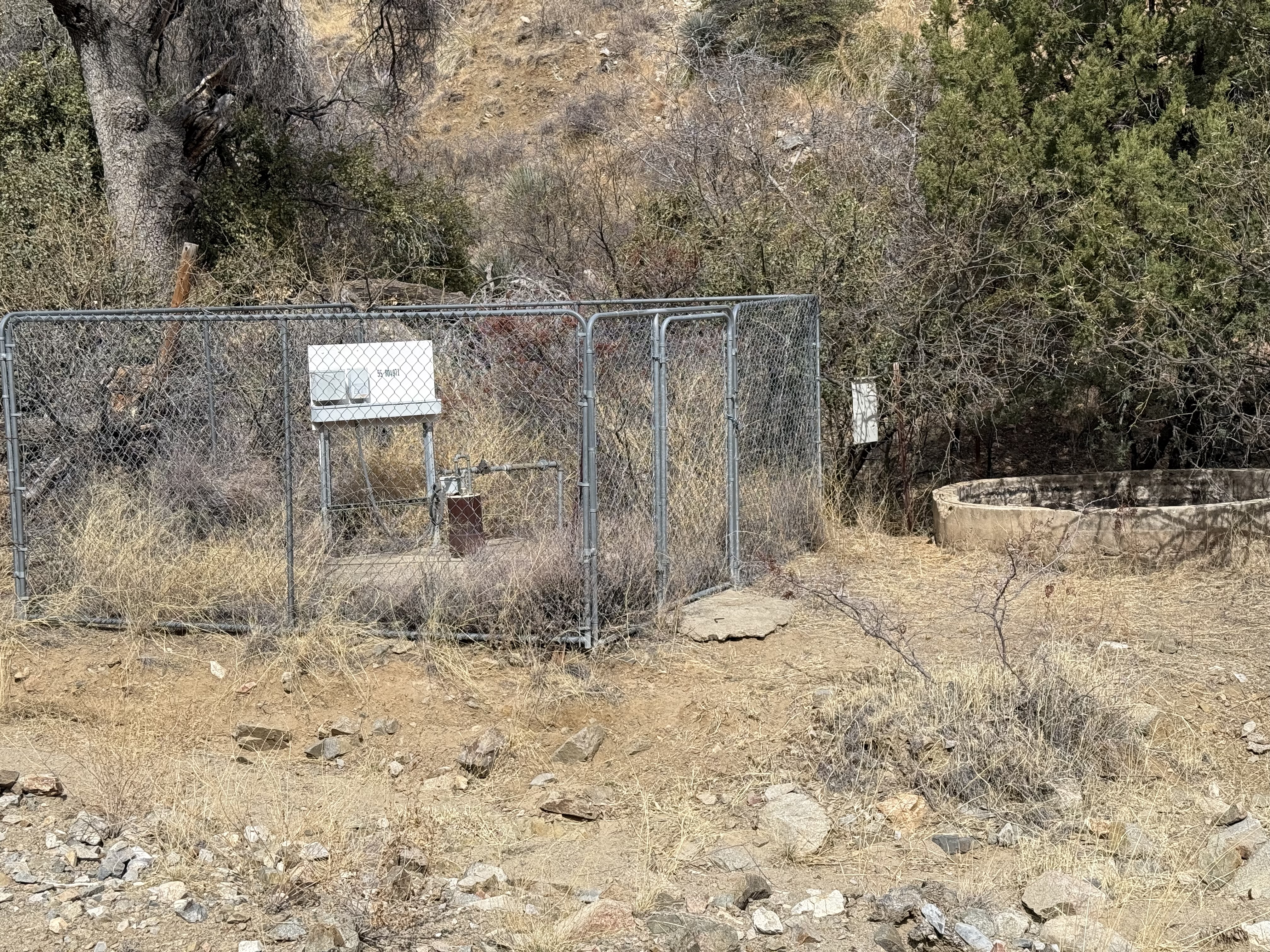
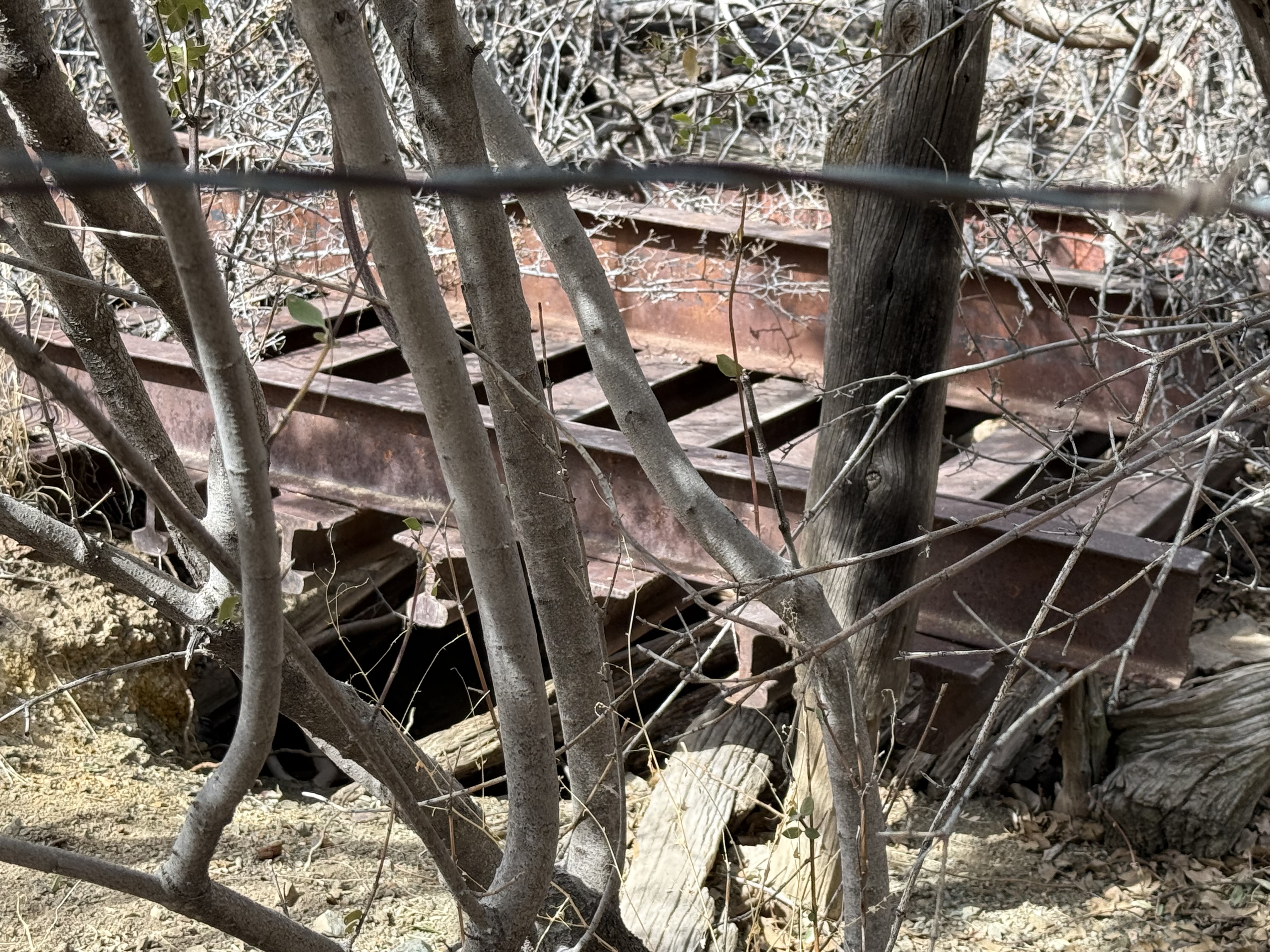
Sierrita Unnamed Mine 7


tailings image not found
Well, with shaft behind (hidden by bushes)3

tailings image not found
Shaft3

Location

31.8872, -111.19413


References

  1. Mineral Appraisal of Coronado National Forest, Part 12, Santa Rita Mountains Unit, MLA11-94 (1994). SR 591-609
    http://repository.azgs.az.gov/sites/default/files/dlio/files/nid1813/usbm_mla_011-94.pdf
  2. Mining in the Santa Rita and Patagonia Mountains of Arizona, F. C. Schrader, U.S. Department of Interior, 1915. Republished 2014 by Kerby Jackson.
  3. Mike Bertram, 2/28/25
  4. USGS Mineral Resources Data System - using WGS84 (https://mrdata.usgs.gov/mrds/map-commodity.html#home)
  5. Index of Mining Properties in Santa Cruz County by Stanton B. Keith, bulletin 1991, Arizona Geological Survey, 1975
  6. WesternMiningHistory.com
  7. https://www.gvrhc.org/Library/LuckyLedgeMine.pdf