|
|
|
Mines Menu:
Mines Map
Use the links at the left to return.
|
|
Mine Descriptions |
|
Snyder Mine | |
|
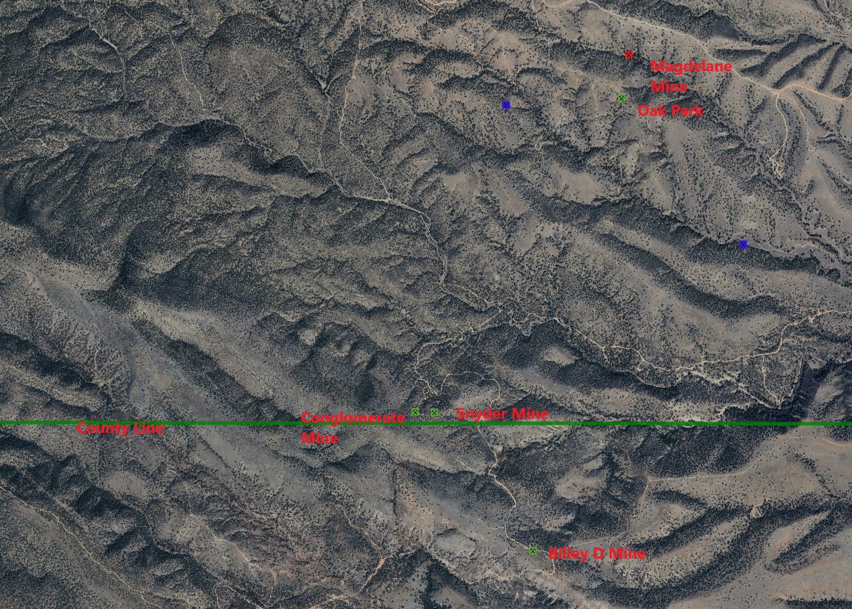
Alternate NamesConglomerate, Anderson, A. W. A., Aurum, Silver Moon, Reese, Colossa, Sonoita. Mining District and MinesGreaterville District Historical: The Anderson prospect, also know as the Conglomerate mine, is 2½ miles south-southwest of Greaterville, near the top of the limestone ridge on the south side of Fish Canyon at an elevation of 5,640 feet. The owner, J. E. Anderson, reports having shipped from it 19 tons of galena that assayed 68% of lead and 54 ounces of silver to the ton. It is opened principally by a 50 foot shaft on a near vertical northwest-southeast brecciated and silicified contact between the granite and the limestone. The ore minerals are principally galena and cerusite, with a little chalcopyrite and horn silver, occurring in pockets and small boulders scattered through the zone. Oxidation extends to the bottom of the shaft.2
USBM: 7 shafts: 12, 50, 55, 65 feet deep; flooded at over 100 feet deep; and caved at 20 and 3 feet deep. 5 adits: 25, 30, 140, 250, and 330 feet long. Also many small prospect pits, trenches, and cuts.1 Historical: Shaft, 340 feet deep, with connecting 200 feet crosscut adit, and 1,000 feet of drifts, stopes, and winzes; plus 3 other adits, 140, 140, and 250 feet long (5).1 Location31.73233N, 110.76208W4 S ctl., sec. 36 Mineral ProductsHistorical: Worked sporadically producing some 1,000 tons of ore averaging about 10% Pb, 8 oz/t Ag, minor Cu and Au (1). Assays of 4 samples taken in underground workings: Ag, 0.4 - 24.1 oz/t; Au, 0.02 - 0.22 oz/t; Pb 8.5 - 50.0%. Assays of 5 samples taken from surface prospects: Ag, 0.3 - 0.4 oz/t (4 samples), 5.7 oz/t (1 sample); Au, trace - 0.06 oz/t; Pb trace - 0.3% (4 samples), 2.1% (1 sample); (1)1 USBM: Ag, <1 - 73 ppm; Au, 12 - 3,170 ppb; Cu, 14 - 2,227 ppm; Mn, 260 - 10,000 ppm; Pb, 40 - >10,000 ppm; Sr 7 - 360 ppm; Zn 50 - 40,000 ppm.1 GeologyPrimary mineralized zone is NW-striking, near vertical fault zone along contact between granite and limestone. Conjugate (?) faults striking NE have also been mineralized. The primary fault zone is heavily brecciated and silicified, and contains quartz and calcite veinlets with spotty galena. Cerussite and Angelsite have also been reported (3, 5). 1 Type of Operation and ProductionHistorical: Early 1900s - 1955. Worked sporadically producing some 1,000 tons of ore averaging about 10% Pb, 8 oz/t Ag, minor Cu and Au (1). 1 References
|