|
|
|
Mines Menu:
Mines Map
Use the links at the left to return.
|
|
Mine Report |
|
Treasure Vault Mine | |
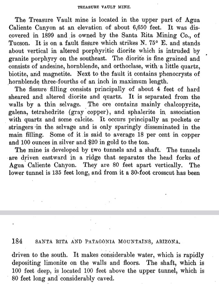
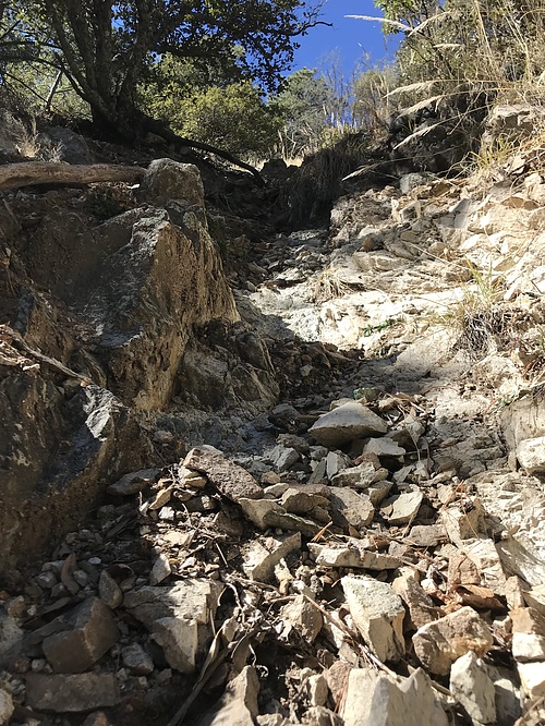
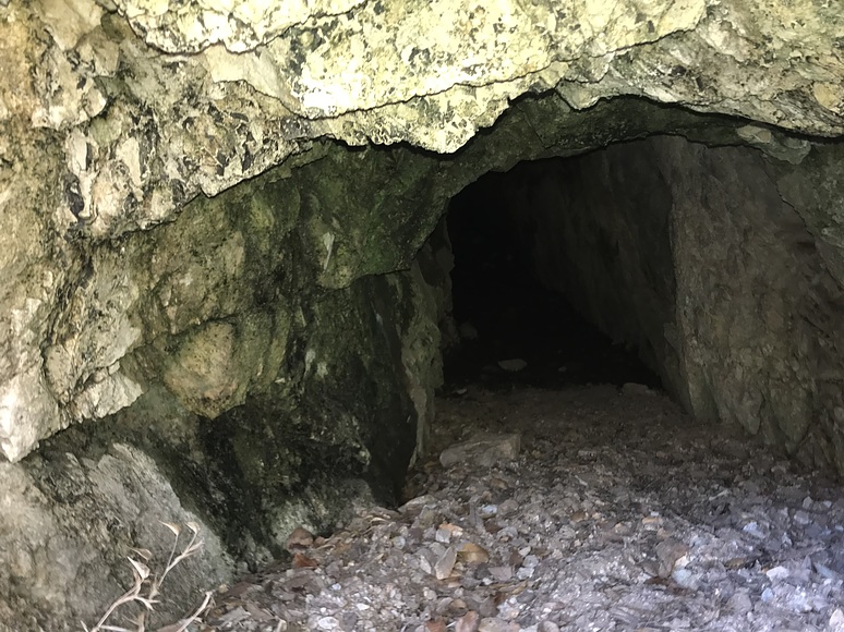
Mining District and MinesTyndall District -Agua Caliente Canyon1 A former underground Cu-Zn-Ag-Pb mine located in the upper part of Agua Caliente Canyon at an elevation of about 6,650 feet, on National Forest land. It was discovered in 1899 and is owned by the Santa Rita Mining Co., of Tucson (1970).2
LocationSE¼ SE¼ sec. 10, T20S, R14E2 31° 42' 4'' North , 110° 53' 28'' West
Mineral ProductsAg, Au, Pb, Zn 5 GeologyMineralization involves a fault fissure which strikes N.75ºE. and stands about vertical in altered porphyritic diorite which is intruded by granite porphyry on the SE. The diorite is fine-grained and consists of andesine, hornblende, and orthoclase, with a little quartz, biotite, and magnetite. Next to the fault it contains phenocrysts of hornblende ¾ of an inch in maximum length. Type of Operation and ProductionWorkings include a shaft and 2 tunnels separated by 80 feet vertically. The tunnels are driven eastward in a ridge that separates the head forks of Agua Caliente Canyon. The lower tunnel is 135 feet long, and from it a 30 foot long crosscut has been driven to the south. The shaft is 100 feet deep and is located 100 feet above the upper tunnel, which is 80 feet long and caved.5 Photos
References
|