|
|
|
Mines Menu:
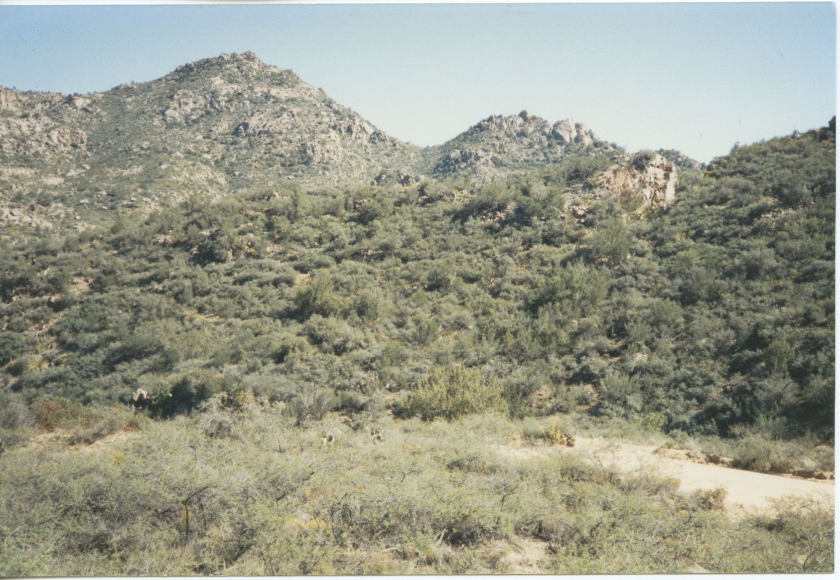
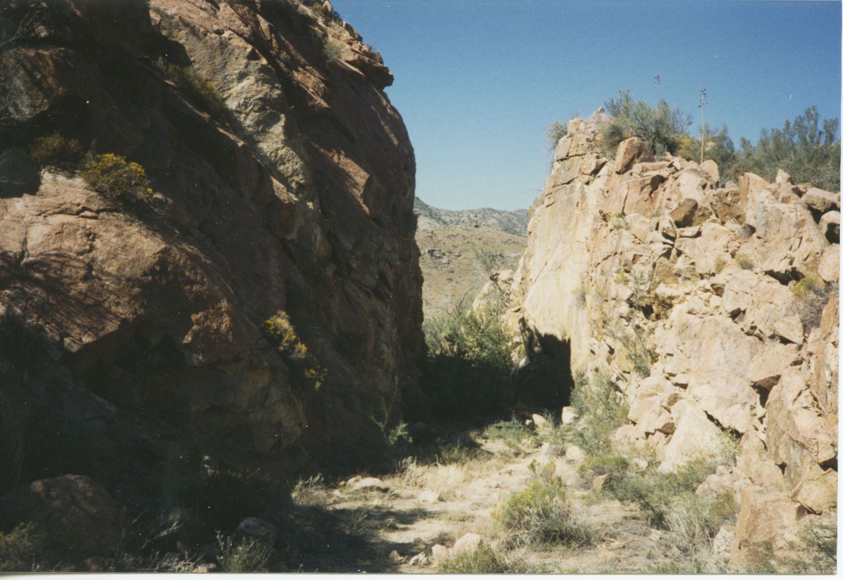
Mines Map
Use the links at the left to return.
|
|
Mine Descriptions |
|
Uncle Sam Mine | |
Alternate NamesNone known CompanyNone known Mining District and MinesNogales District
Arizona Geological Survey Mining datahttp://docs.azgs.az.gov/OnlineAccessMineFiles/S-Z/UnclesamSantacruz91e.pdf
LocationOn Mount Benedict, north of Nogales 23S 14E NW¼ 285 31.4032N, 110.92596W4 Mineral ProductsAu, Pb, Ag, Cu-.5 Shaft, tunnel, adit, pit and open cut operations. Worked sporadically from prior to 1900 to 1941 producing some 100 tons of ore averaging about 5% Pb, 5 oz. Ag/T, 0.5 oz. Au/T, and up to 0.55 Cu.5 GeologyThe Uncle Sam mine is just across the gulch, 300 feet east of the Dura mine. It is owned by W. C. Ellis, of Nogales, and is opened by shafts and drifts, the deepest shaft having a reported depth of 345 feet. The material on the dump is thoroughly oxidized and mineralized. the mine is in the quartz monzonite and seems to be on the same vein as the Dura mine but the shaft apparently also the vein trend N. 75° E., though the drift continues steep (75°) to the north, as at the Dura mine The vein is said to contain 4 inches of ore-bearing quartz on the hanging wall and 6 inches on the footwall. The ore carries lead, gold, and a little silver. In the gulch between these two mines the quartz monzonite is intruded by dioritic, aplitic, and dark basic dikes, some of which are apparently lamprophyric. To some of the dikes the deposits of the two mines probably owe their origin.2 Shear veins of roughly banded quartz and brecciated, altered Jurassic quartz monzonite wall rock with largely oxidized argentiferous and auriferous galena and minor chalcopyrite. Many associated dikes. Shaft operations. Prospected and worked for gold in the mid-1800's and sporadically until 1967 with estimated and recorded production of some 250 tons of ore averaging about 9% Pb, 8 oz. Ag/T, and minor copper.5 References
|