
|
|
|
Mines Menu:
Mines Map : Mines List
Use the links at the left to return.
|
|
Mine Descriptions |
|
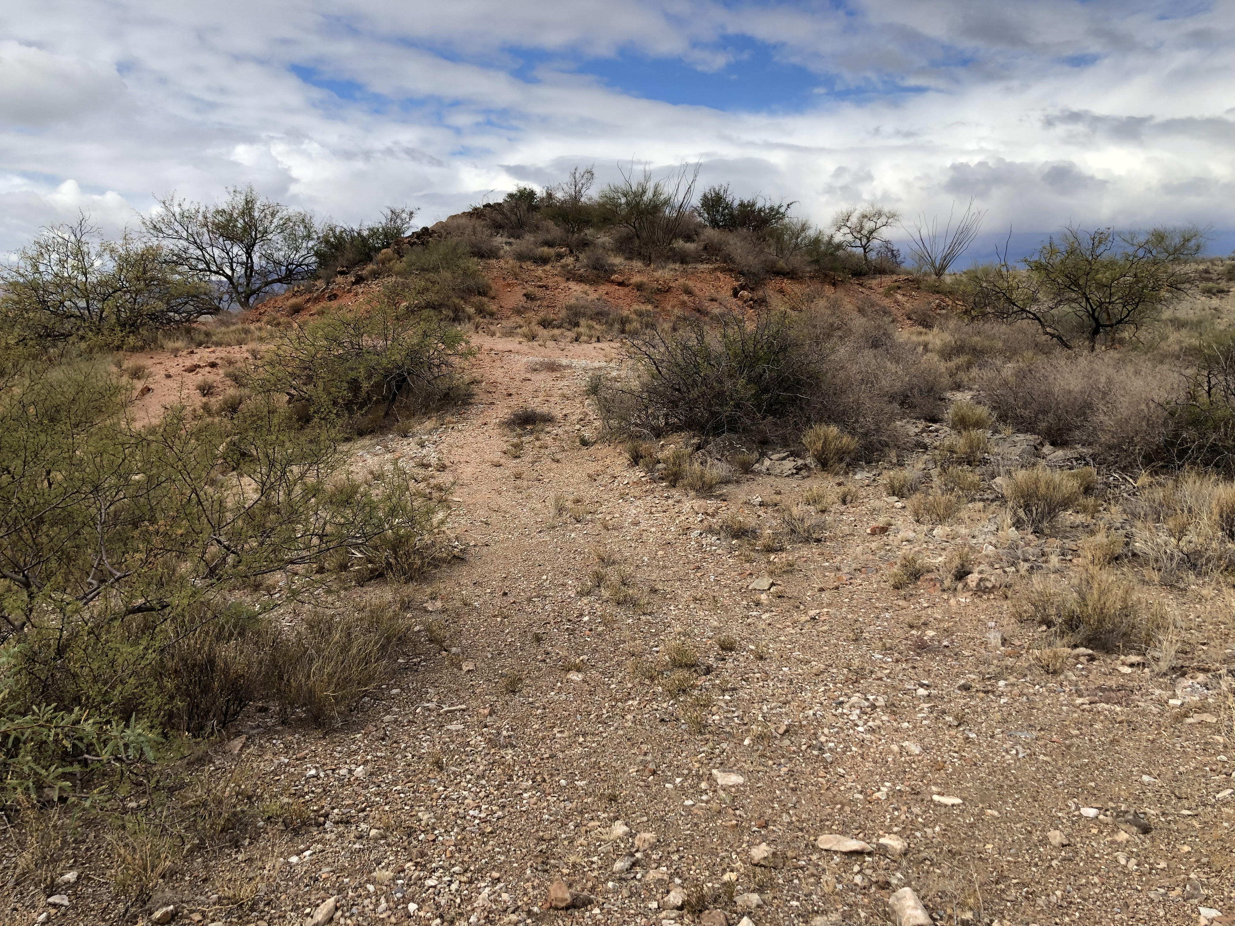
Unnamed Mine 5 | |
Location31.6621N, 110.9579W4 Photos
References
|
|
|
|
|
Mines Menu:
Mines Map : Mines List
Use the links at the left to return.
|
|
Mine Descriptions |
|
Unnamed Mine 5 | |
Location31.6621N, 110.9579W4 Photos
References
|
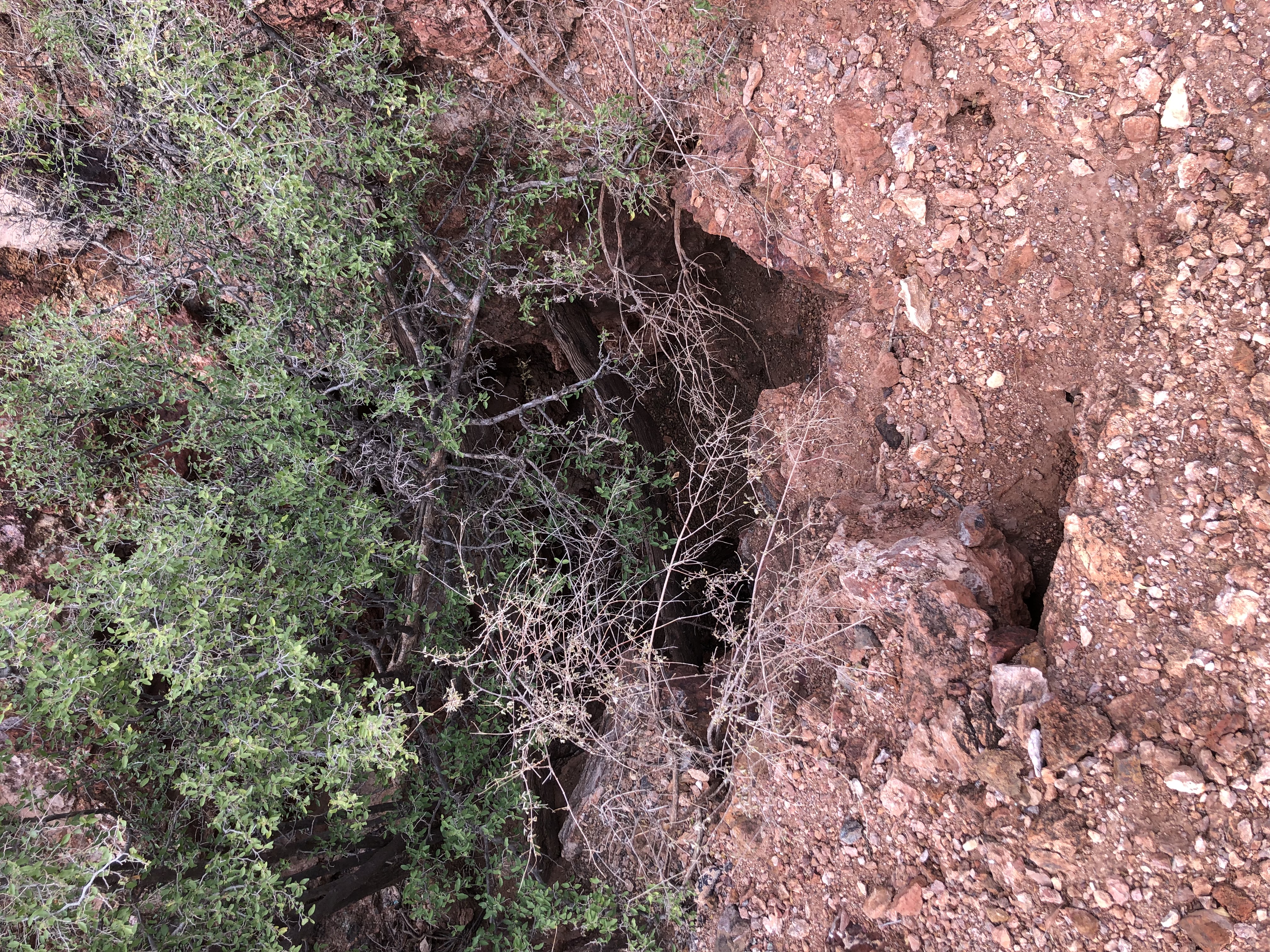
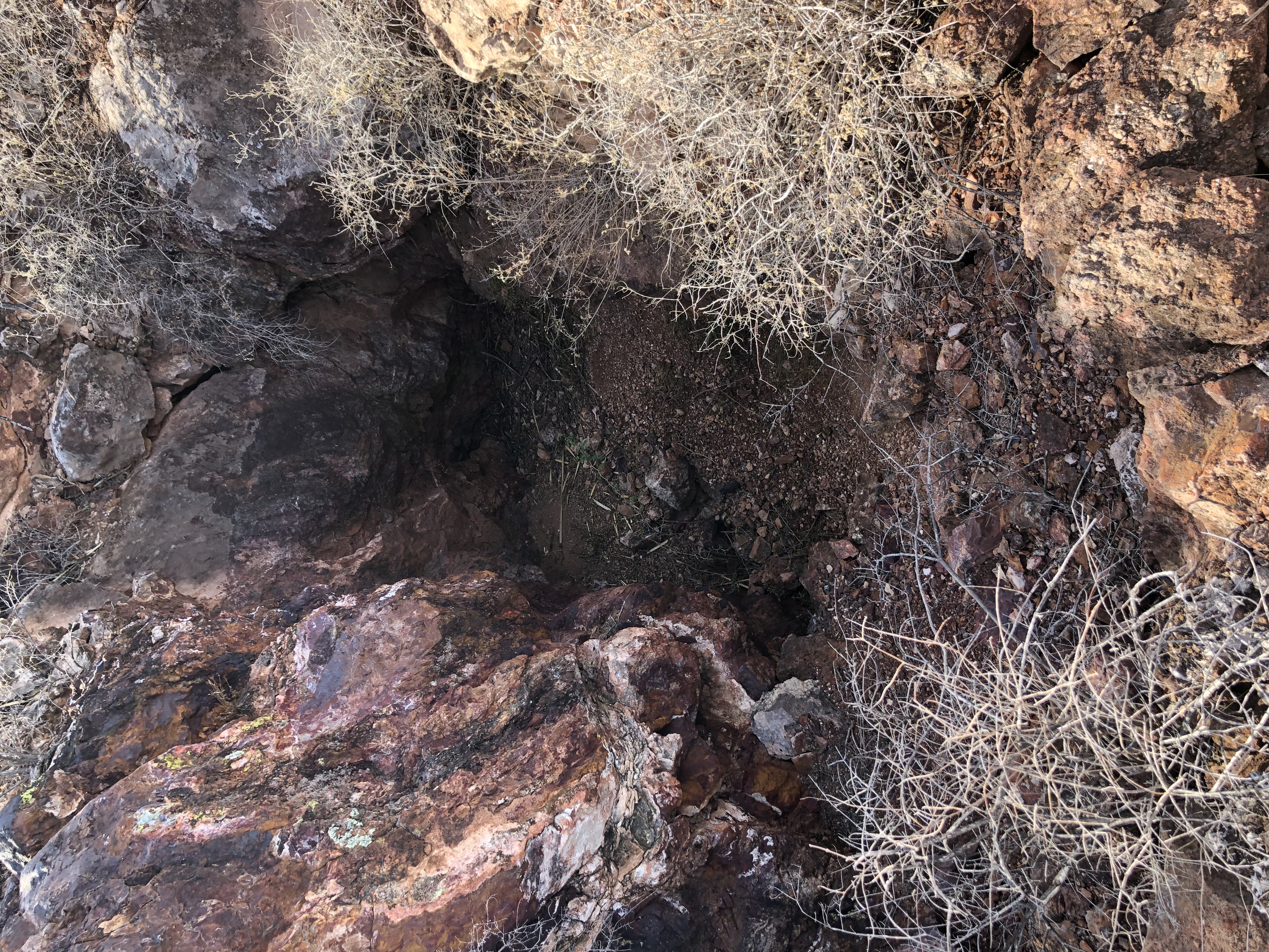 Second Shaft3