|
|
|
Mines Menu:
Mines Map
Use the links at the left to return.
|
|
Mine Report |
|
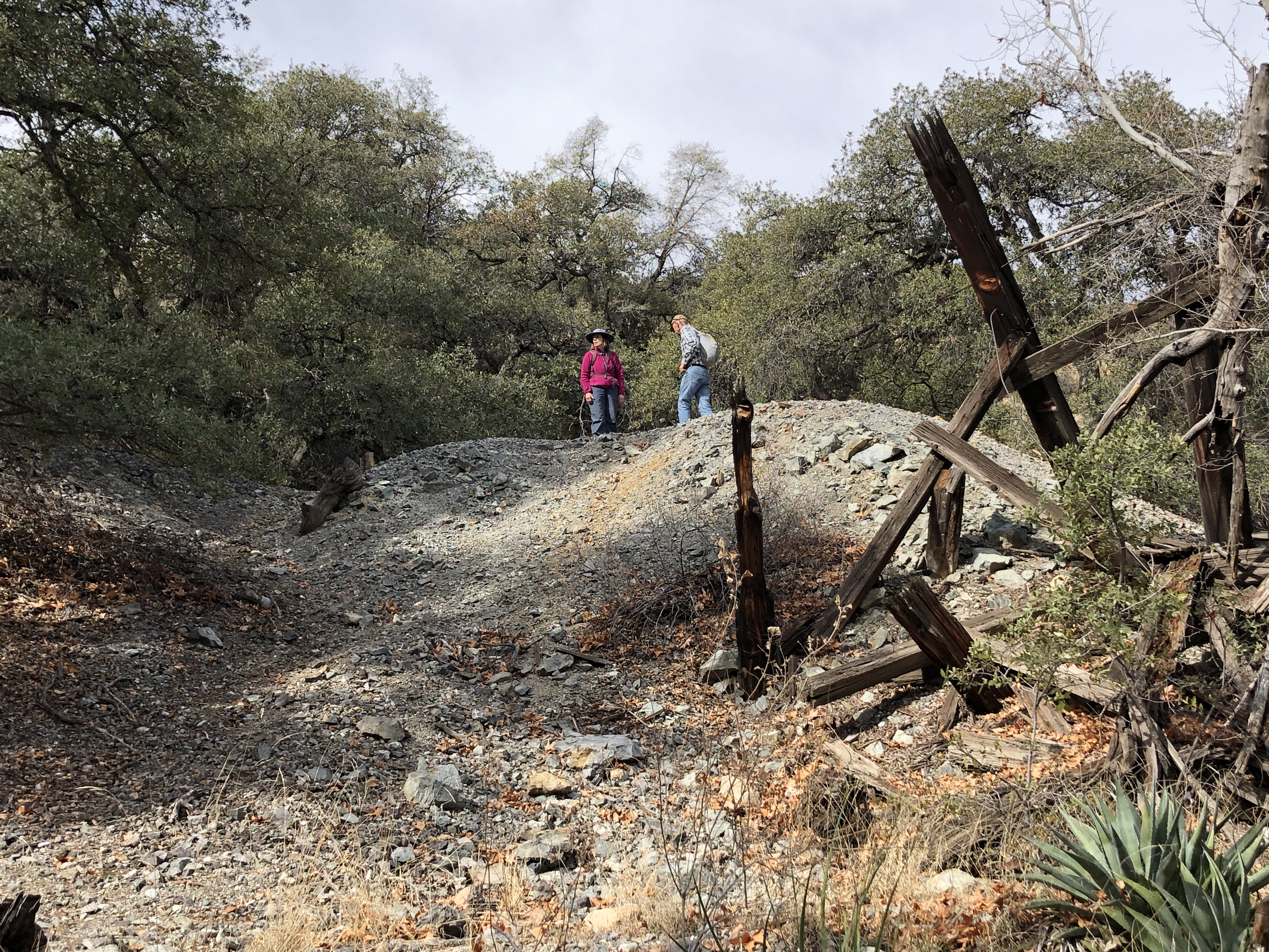
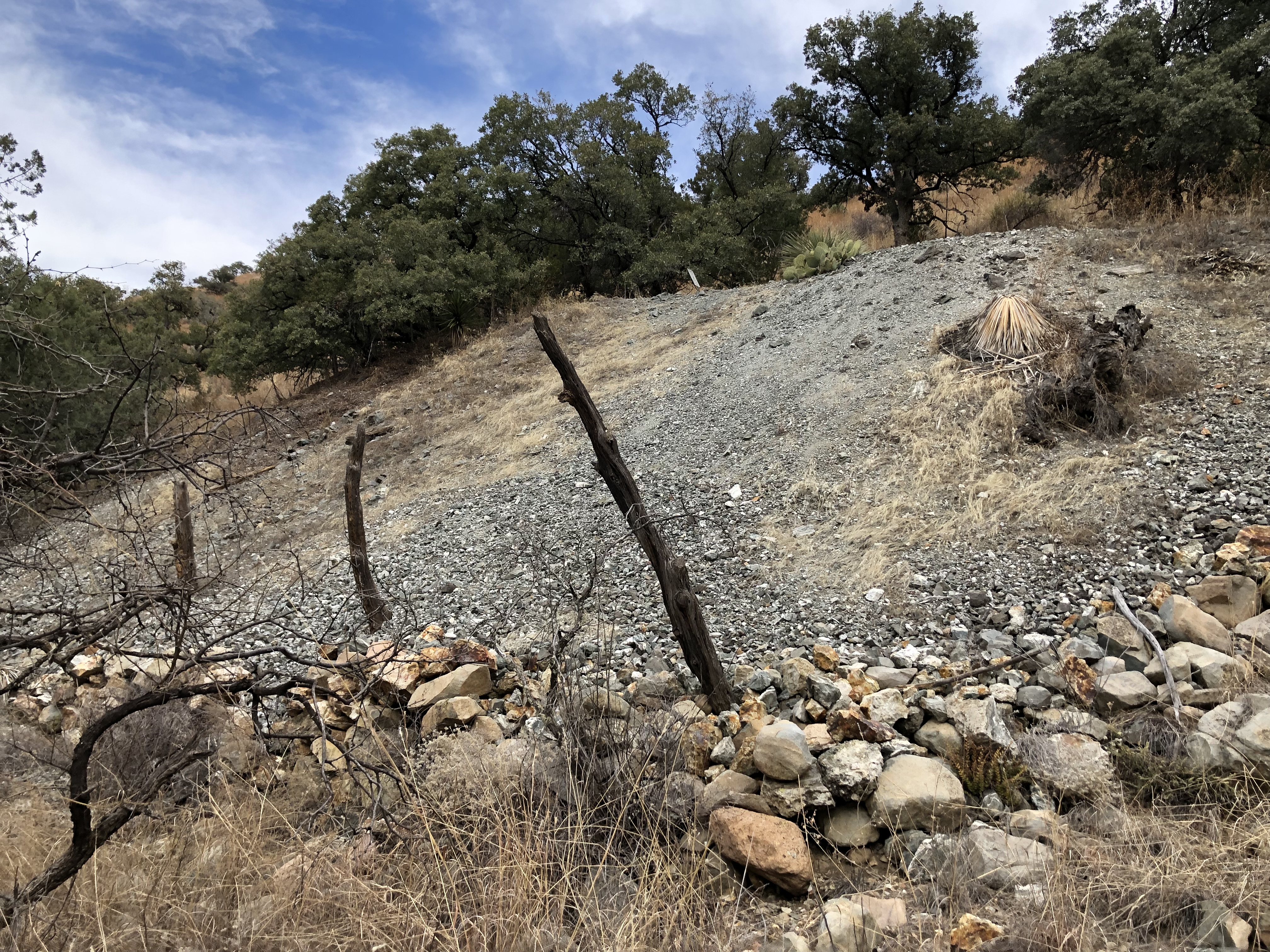
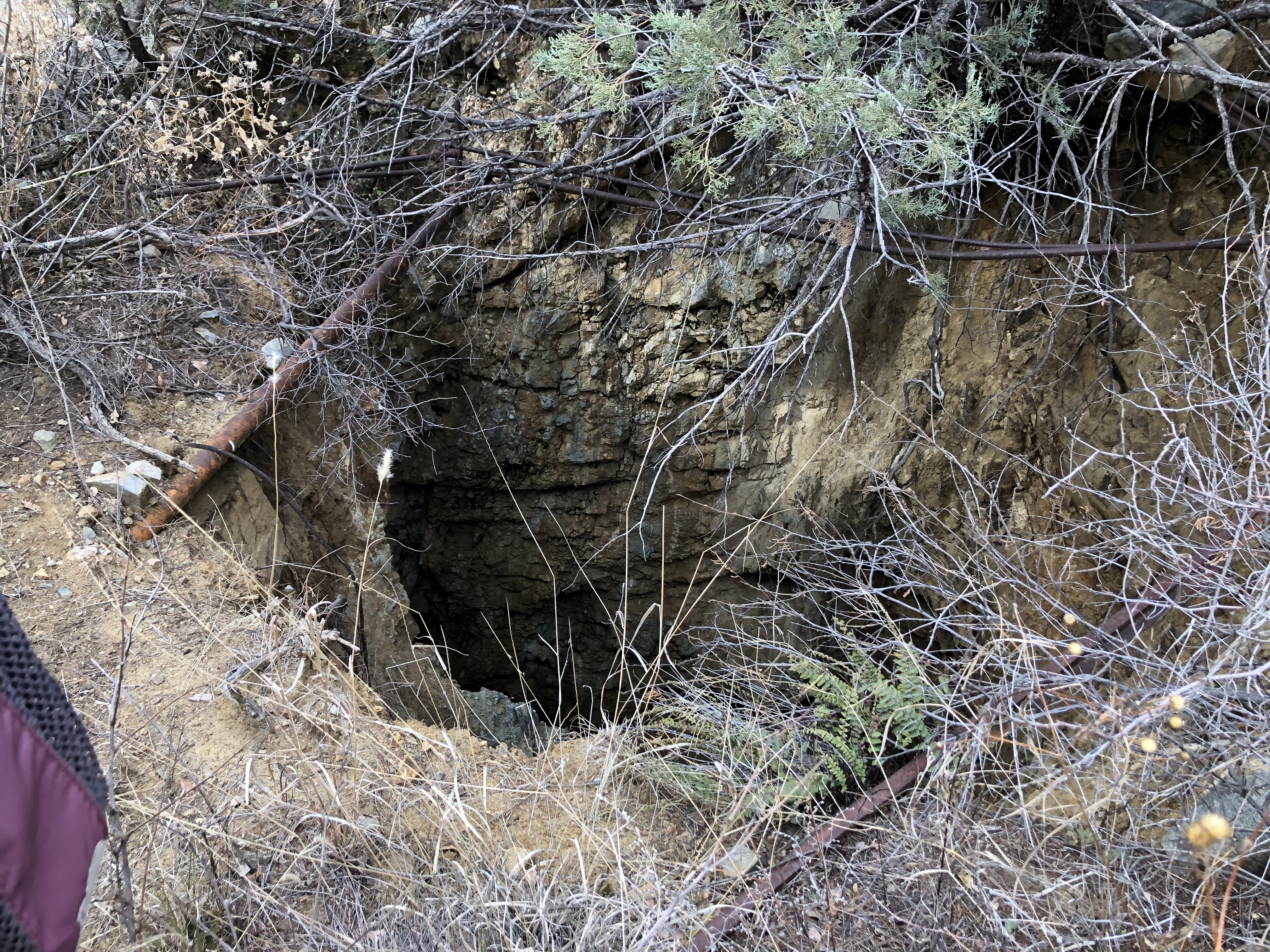
Compadre Mine Group | |
|
AKA - Le Roy, Polatski, Mary, Michelske, Reid, Johnson, Kramer Mining District and MinesTyndall District - western slope of southern part of Santa Rita Mountains.1
Location20S 14E SE¼ 351 31.64543, -110.870083 CompaniesArizona Consolidated Gold & Copper Mines, Boulder Mg. Co.1 Mineral ProductsZn, Cu, Pb, Ag, Au-1 GeologySpotty, partly oxidised sphalerite, pyrite, chalcopyrite, and galena in a narrow, lensing quartz fissure vein cutting Cretaceous rhyodacite welded tuff and interbedded arkose near intrusive Laramide diorite.1 Type of Operation and ProductionAdit and shaft operations. Sporadic production of some 250 tons of ore averaging 7% Zn, 3% Cu, 2% Pb, and 3 oz. Ag/T, from early 1900s through 1960.1
East Compadre MineThis mine is only known from the MRDS entry.
References
|