|
|
Arizona Trails and Mines Reports | |
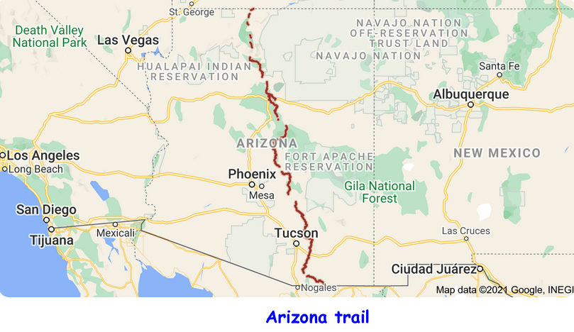
Trails map :
Trail Reports list
Use the link at left to return to the trails map.
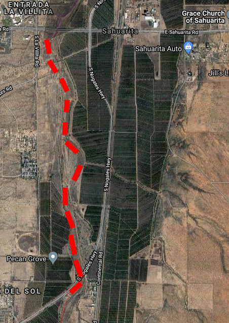
Trail Report: De Anza Trail - Nogales highway (part)Reporters: Mike Bertram & Kathy King Date: January 15, 2022 | |
| |
Description: overgrown. GPS Readings: Ends: 31.9196N , 110.9642W and 31.9303N, 110.9639W The trail section is 0.9 miles long. | |
| |
Trail under Nogales highway | |