Arizona Trails and Mines |
Trails and Mines menu :
Trails map :
Trail Reports list
Use the links on the left to return to previous screens.
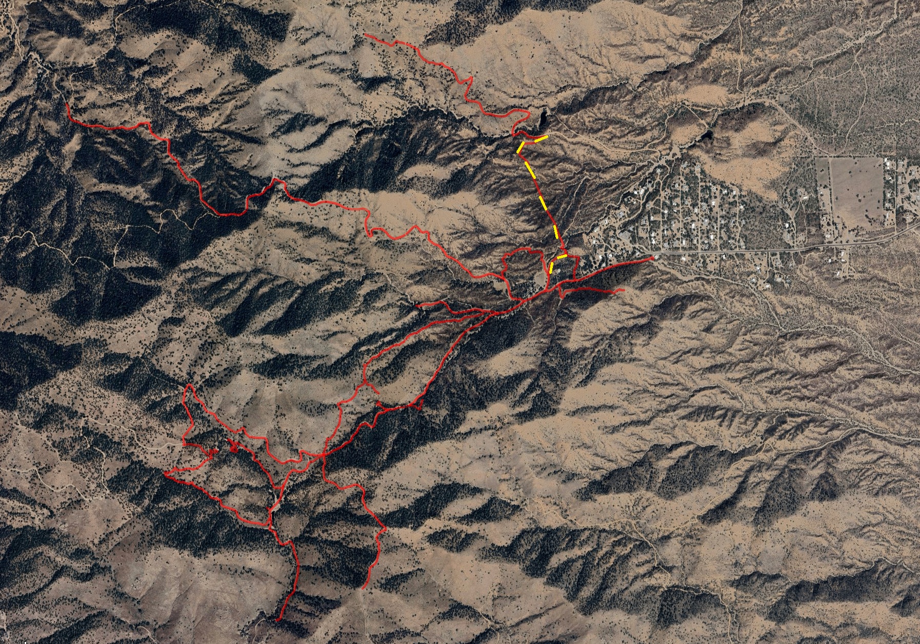
Trail Report: Sierrita WaterlineReporters: Mike Bertram Date: March 24, 2025 |
|
Description: at one time a service road for the now disused waterline. GPS Readings: Ends: 31.8931N, 111.1847W and 31.8997N, 111.1849W The trail section is 0.6 miles long. |