|
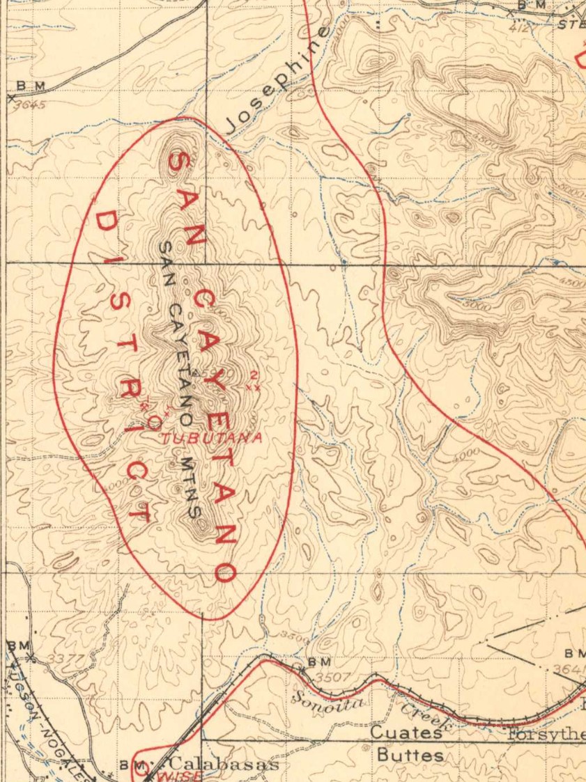
1914 map, extracted from https://pubs.usgs.gov/bul/0582/plate-1.pdf
The San Cayetano Mountains, an outlying group southwest of the Santa Rita Mountains, form a single-crested north-south mass about 5 miles long and 2 miles in breadth at the middle and highest point, where they rise to nearly 6,000 feet, or 2,000 feet above Josephine Canyon. The topography is rough, as they are composed of eroded volcanic rocks. The structure, like that of the Santa Rita Mountains, is monoclinal, with the dip to the east.


Ref. [2]
| Mine/Placer | MRDS4 | 1914 map | Schrader2 |
Pima6 |
Tubutana | |
x |
p. 357 - 358 |
|
Wise's |
|
2 |
p. 358 |
|
References
- Mineral Appraisal of Coronado National Forest, Part 12, Santa Rita Mountains Unit, MLA11-94 (1994). SR 591-609
http://repository.azgs.az.gov/sites/default/files/dlio/files/nid1813/usbm_mla_011-94.pdf
- Mining in the Santa Rita and Patagonia Mountains of Arizona, U.S. Department of Interior, 1915. Republished 2014 by Kerby Jackson.
- Mike Bertram,
- USGS Mineral Resources Data System - using WGS84 (https://mrdata.usgs.gov/mrds/map-commodity.html#home)
- Index of Mining Properties in Santa Cruz County by Staton B. Keith, bulletin 191, Arizona Geological Survey, 1975
- Index of Mining Properties in Pima County by Staton B. Keith, bulletin 189, Arizona Geological Survey, 1974
|
