|
|
Michaux Trails map :
Trail Reports list
Use the link at left to return to the trails map.
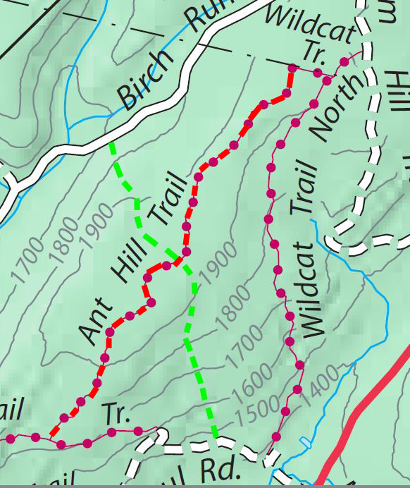
Trail Report: Anthill trailReporters: Mike Bertram & Kathy King; Date: February 9, 2021 Usage: foot and bike traffic, occasional horse traffic. |
|
Anthill trail shown in red |
Recent Weather: a small snowfall Blazing: red (south of Old Wildcat / Chestnut trail) Signage: signs at both ends and where it crosses the Old Wildcat / Chestnut trail. Status: This bike trail runs between the powerline at the northern end and the Abigail trail at the south. GPS Readings: Ends: 39.9777N , 77.4071W and 39.9605N , 77.4221W The trail is 2.1 miles long. |