|
|
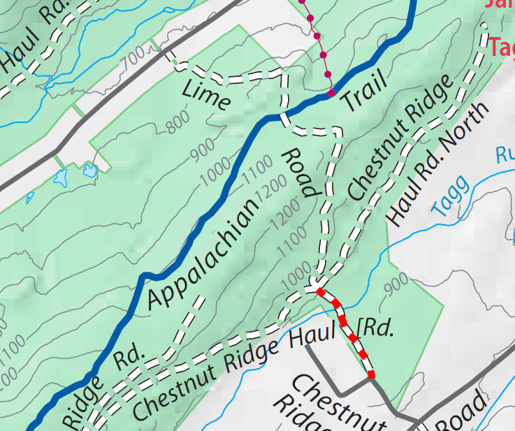
Michaux Trails map :
Trail Reports list
Use the link at left to return to the trails map.
Chestnut Ridge trailReporters: Mike Bertram; Date: October 14, 2021 Usage: foot and bike traffic |
|
|
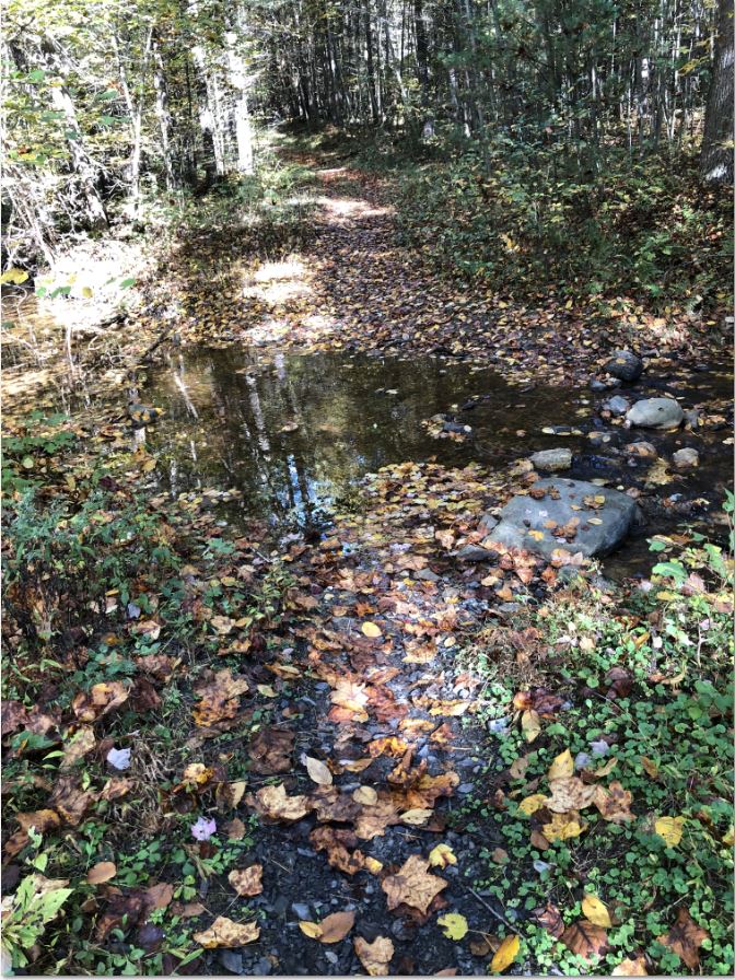
Creek crossing |
Recent Weather: dry Blazing: none Signage: none Status: A well used trail. GPS Readings: Ends: 40.0375N, 77.2199W and 40.0433N, 77.2241W The trail is 0.5 miles long. |