|
|
Tredyffrin Easttown Historical Society Home
: Document Collection Home
Use the links at the left to return.
|
Document Collection |
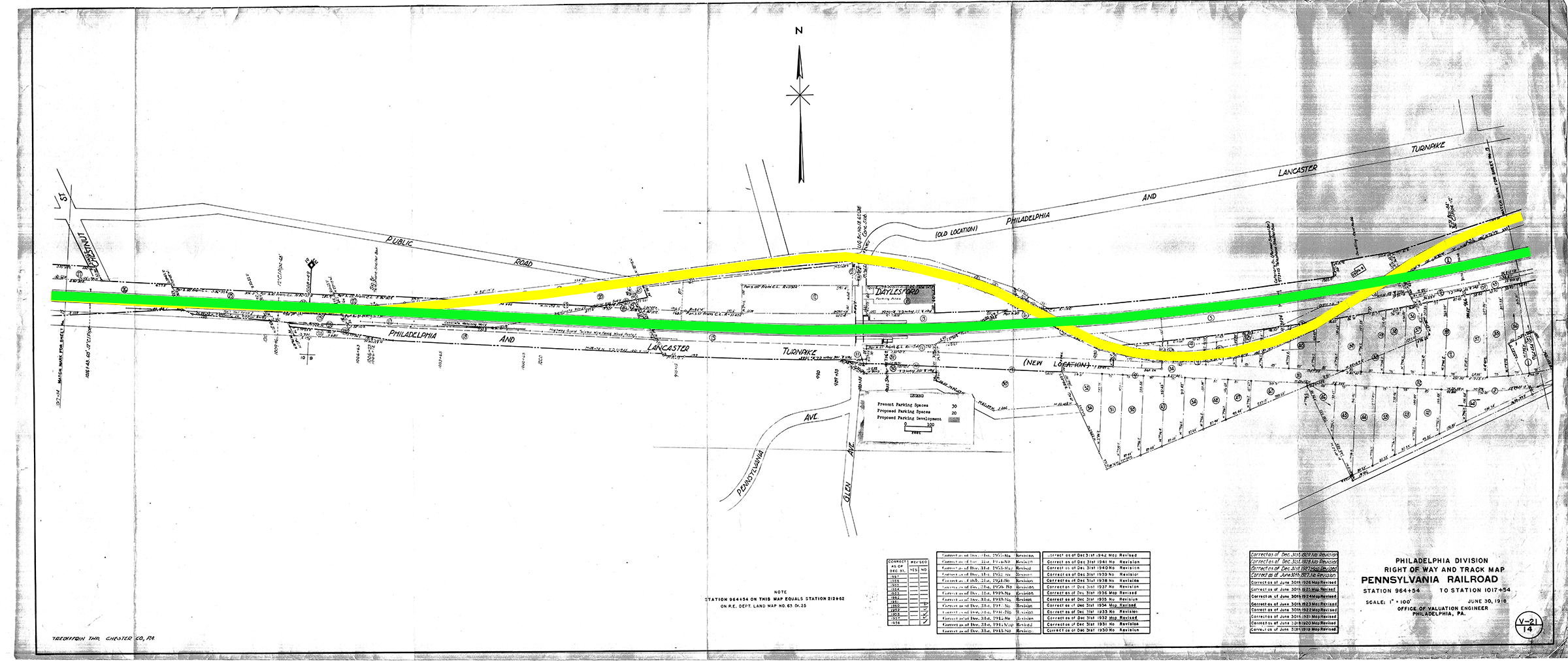
DaylesfordThe re-engineering of the tracks around Daylesford in the 1870s involved eliminating curves as shown below, but also raising the tracks on an embankment to reduce the climb.
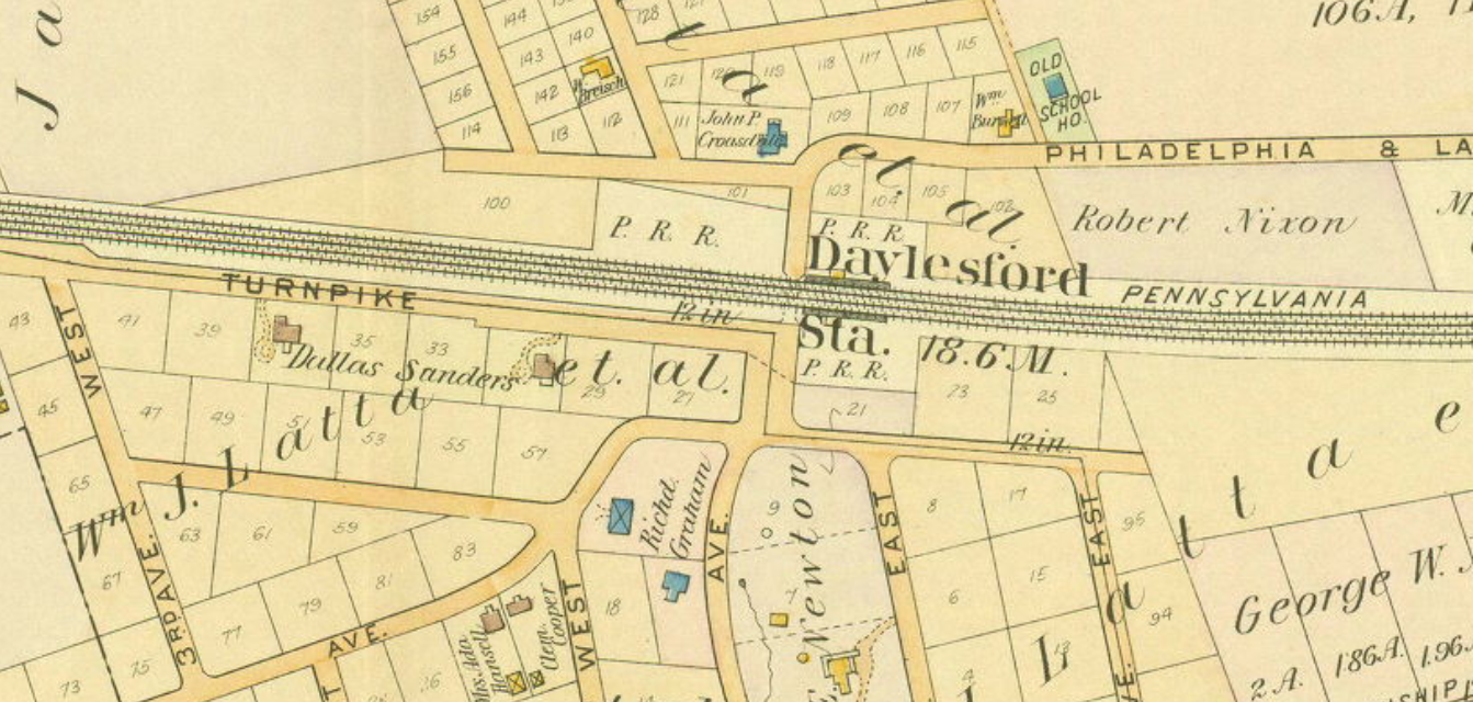
The land needed for the track re-alignment was purchased by a deed dated 1877, but the land for the station was not purchased until 1890. He [Warren Hastings] returned to England, where his trial dragged out until 1795, when he was cleared of all accusations. however, he had spent all his fortune in his defense and in consequence was penniless. With an annuity for life from the East India Company, in addition to a large loan, he bought an English estate which he named “Daylesford”. One of his interested friends in the United States was Richard Graham, who had bought a large tract of ground near the present station of Daylesford. When the railroad sought a name for its new station Mr. Graham suggested Daylesford, in honor of his friend. And by that name it is known today.1 alternatively, there is another telling of the tale in the Quarterly: In 1890, a news item appeared in the Coatesville Weekly Times, noting the building of a station at Daylesford, on the Pennsylvania Railroad. The naming of this station came about through the interest in Warren Hastings of Mr. Graham, who then lived in the old Blue Ball and owned a large amount of land in Daylesford and Paoli. The Pennsylvania Railroad had produced several horrid choices which Mr. Graham deplored, so he was asked to choose a name himself and to send it in within twenty-four hours. He was at the time deep in a history of the famous trial of Warren Hastings whose family estate at Daylesford, England, figured in the account. Mr. Graham suggested that name, it was accepted, and appeared for the first time in a railroad guide of 18932. The earliest use of the name Daylesford is from an 1891 deed3. William Latta developed the land in Daylesford after purchasing it in 1889 and then subdividing part of which is shown this excerpt in the 1897 atlas:
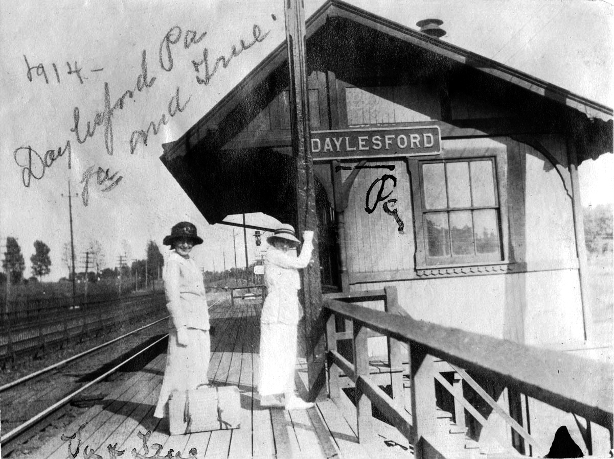
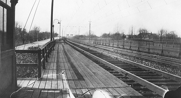
Operating the semaphore, Daylesford Station, 19145
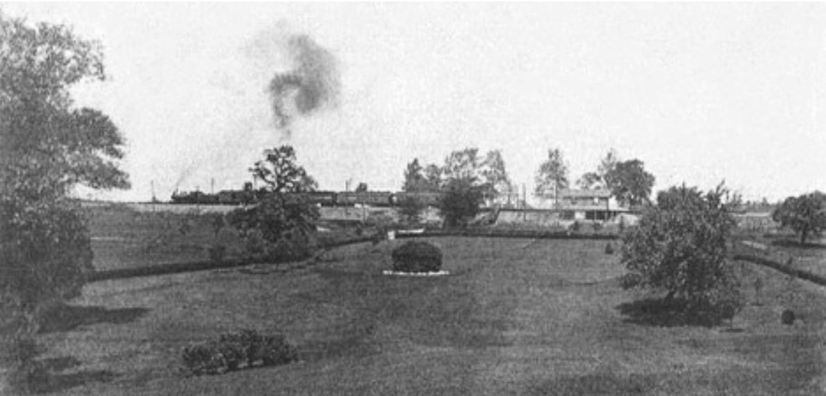
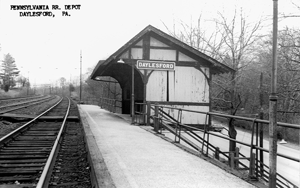
Daylesford Station, 1932, looking east
Daylesford Station, 1932, looking west 1995: the Daylesford Railroad Shelter demolished. References and Notes1. Radnor Historical Society, https://radnorhistory.org/archive/articles/ytmt/?p=60 2. ‘Notes on Daylesford’ by Louise Kneass, TE History Quarterly, vol 8, #3 (April 1955). 3. Chester County deed X10-135. 4. Atlas of Properties on Line of Pennsylvania R.R. from Rosemont to Westchester, 1897, A. H. Mueller Co. 5. Courtesy of John P. Hemcher & Philip E. Hemcher. |